
AILA Member| 20+ Years Experience| Projects Across Australia

Home

Assessing Landscapes with Specialist Expertise

Leading Visual Planning Consultant in Queensland

TRACE Visual combines landscape expertise with advanced geospatial analysis to assess landscape values and visual change. Through evidence-based assessment, GIS mapping, verified visual simulations and professional judgment, we provide independent and defensible advice that supports informed decision-making across planning and infrastructure projects.

20 Years Professional Experience

Landscape architecture, visual planning & academia

AILA Award-Winning

Multiple AILA Awards for excellence

Registered Landscape Architect

TRACE established 2017 · Queensland-based

PhD in Landscape Planning

Research-led methodology

Who We Are

Specialist Visual Planning Expertise

TRACE Visual is a Queensland-based visual planning consultancy led by Dr Ata Tara, Registered Landscape Architect, visual planning specialist and PhD in landscape planning. With more than 20 years of professional experience across landscape architecture, visual planning, research and academia, we provide specialist expertise for complex development and planning projects across Queensland and Australia.

Established in 2017, TRACE Visual combines professional practice, academic research and innovative technology to assess landscape character, scenic amenity, visibility and visual effects.

Read More

What We Do

Specialist Visual Planning Services

We provide specialist landscape planning and visual assessment services that support projects from concept development through to planning approval. Combining research, technical expertise, and advanced geospatial technologies, we deliver practical, evidence-based solutions that help clients understand opportunities, manage risk, and navigate complex planning processes.

Our Process

Structured. Evidence-based. Reliable.

Our structured methodology combines landscape assessment methods, spatial analysis, field investigation, and visual simulations to deliver accurate visual planning solutions and reliable evidence for decision-making.

01

Understand

Project scope, planning context, assessment requirements, key issues and constraints, and development objectives are reviewed to establish the appropriate approach.

02

Map

Existing landscape characters, visual absorption capacity (VAC), visual qualities, visual receptors and sensitivities, and relevant spatial and planning information are examined to establish a reliable baseline.

03

Model

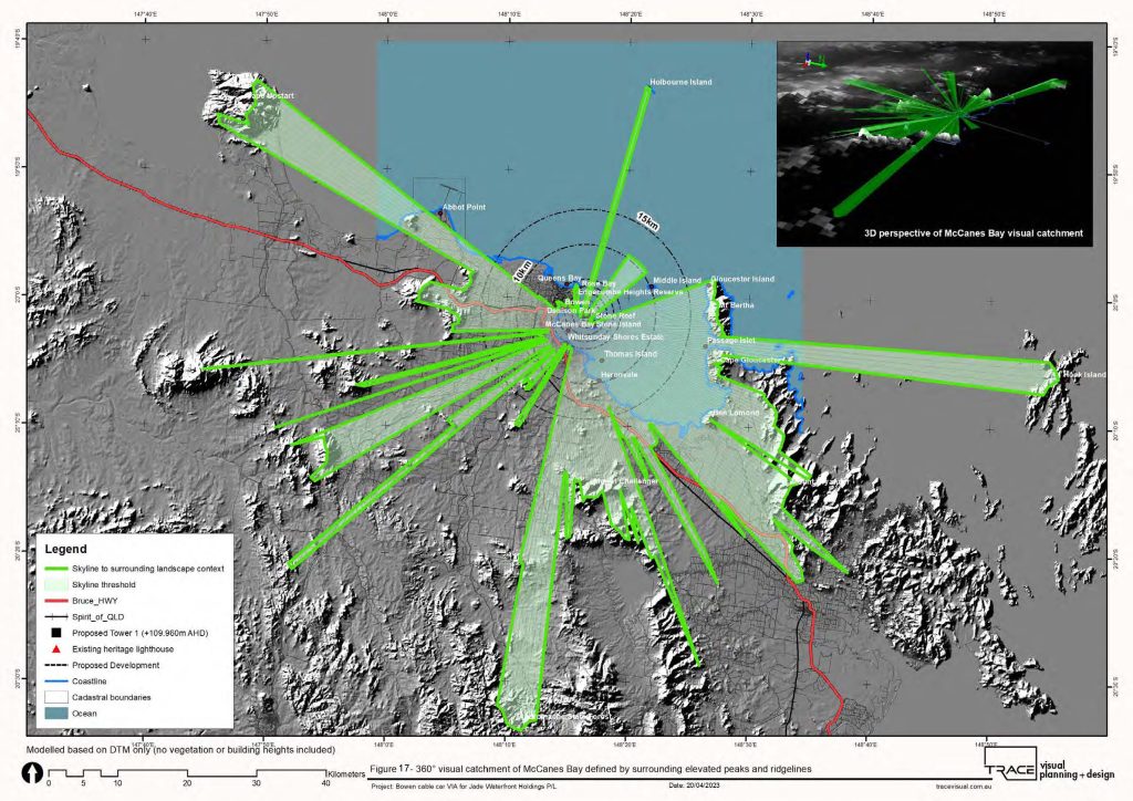
GIS, terrain data, visibility analysis, VAM/ZVI techniques, and 3D modelling are used to understand potential development visibility and landscape relationships.

04

Verify

Site conditions are verified through field investigations and photography, documenting relevant landscape characteristics, viewpoints, and visual receptors.

05

Simulate

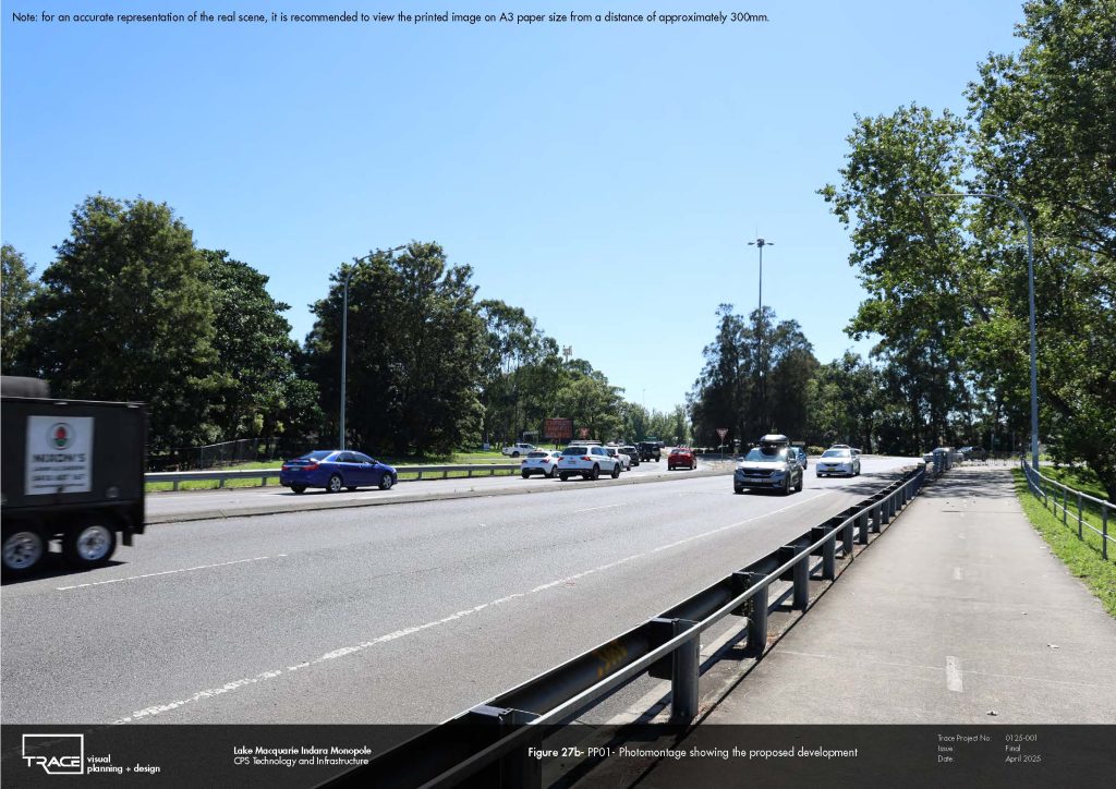
Verified photomontages and visual simulations are prepared to illustrate proposed change from representative viewpoints and support impact assessment.

06

Impact

The magnitude of visual change is evaluated against landscape and visual sensitivity to determine the significance of potential effects.

07

Mitigate

Appropriate design responses and mitigation measures are identified to help manage potential landscape and visual effects.

08

Communicate

Clear technical reports, mapping, visualisations, photomontages and supporting evidence communicate findings to clients, stakeholders and decision-makers.

Selected Work

Our Projects

View All Projects
Landscape and Visual Impact Assessment (LVIA) · 2026

Hindu Temple VIA (Pearcedale, VIC, 2023)

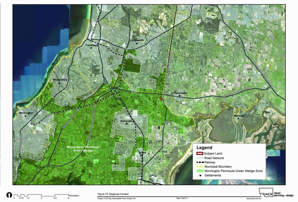
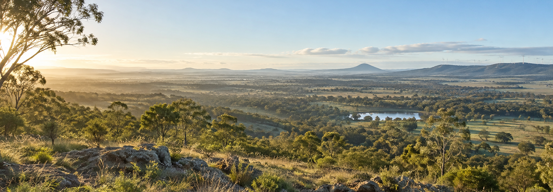
TRACE was engaged to prepare a Landscape and Visual Impact Assessment (LVIA) for a proposed Hindu Temple complex at Pearcedale on the Mornington Peninsula. Located within the Mornington Peninsula Green Wedge Zone, the project required careful consideration of the relationship between the proposed temple, surrounding rural landscape character, major road...

Landscape and Visual Impact Assessment (LVIA) · 2026

Bowen Cable Car VIA (2023)

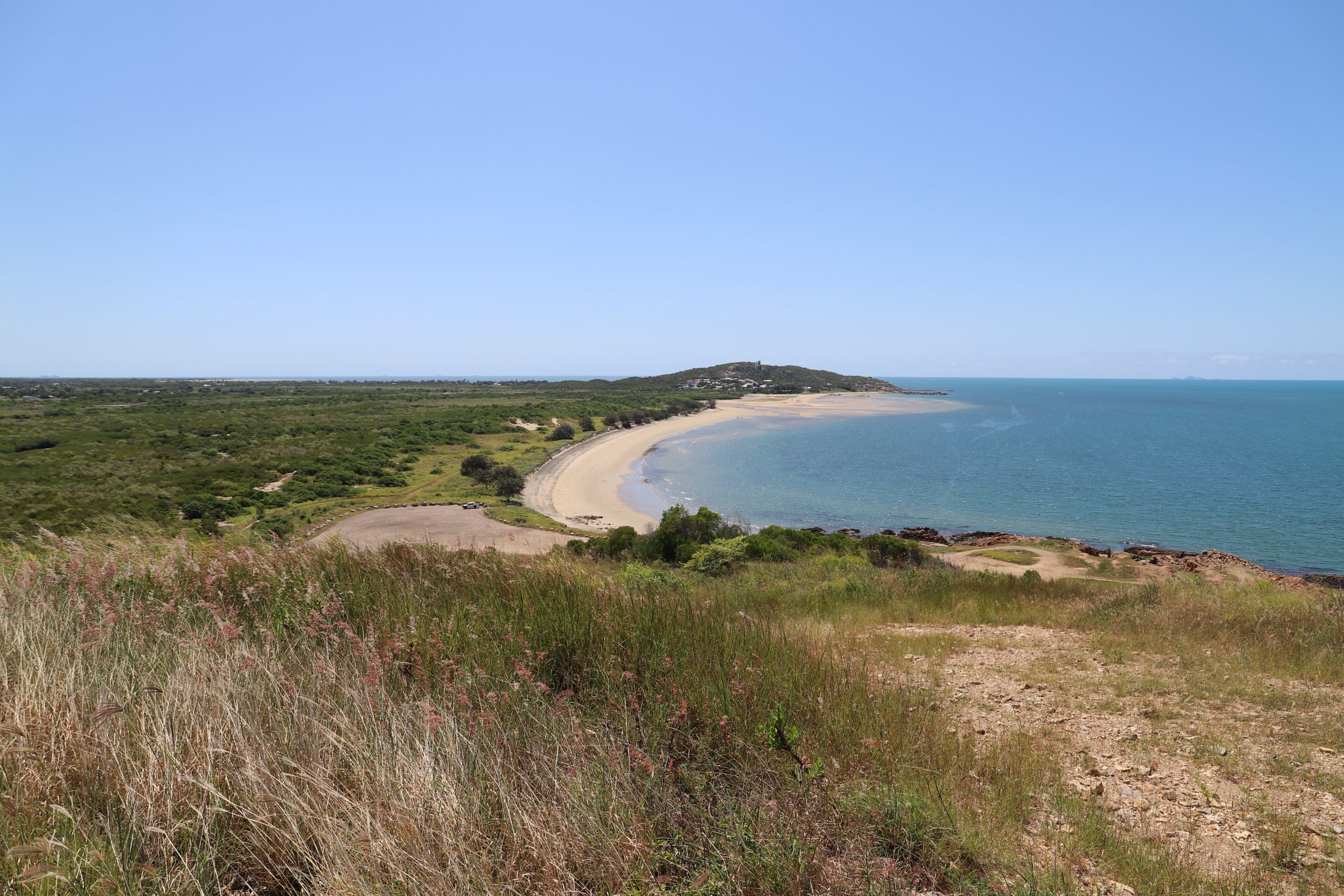
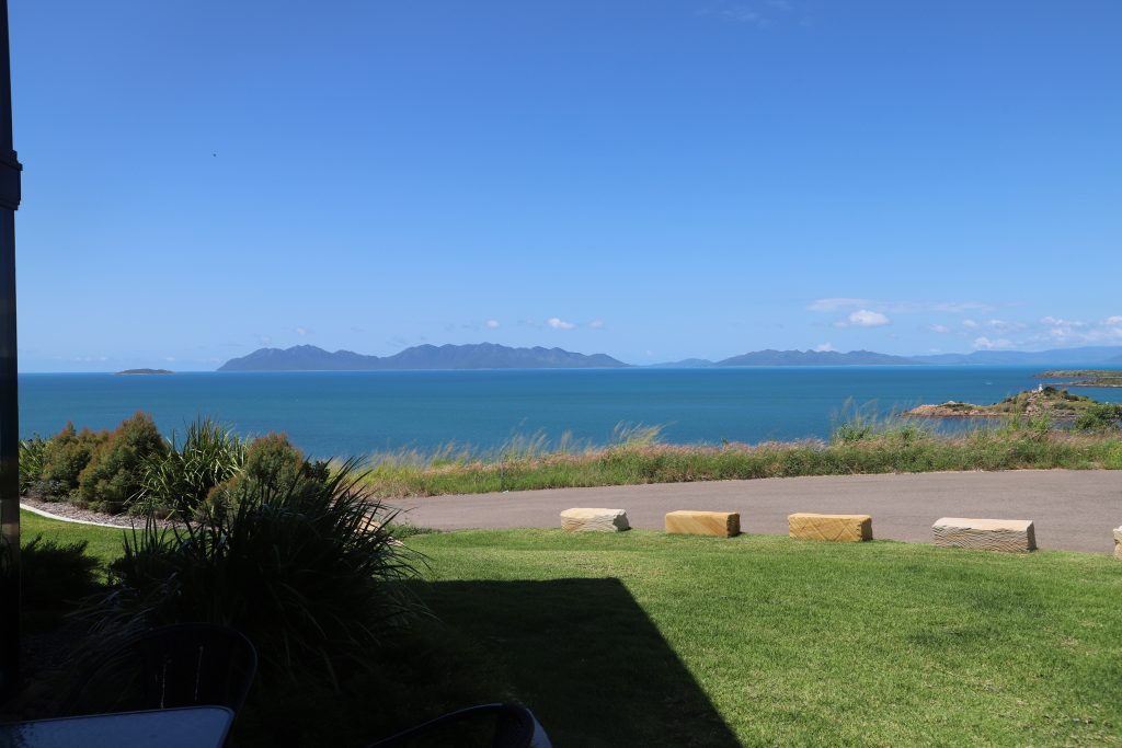
TRACE was engaged to prepare a Landscape and Visual Impact Assessment (LVIA) for the proposed Aerial Tramway (ATW) in Bowen. The project comprises two stations and two towers connecting Flagstaff Hill, North Head Island and Stone Island, creating a cable-based transport corridor between the Bowen mainland and Stone Island. The...

Landscape and Visual Impact Assessment (LVIA) · 2019

Portfolio of LVIA 2

This collection includes selected LVIA studies completed by Ata during his past employment at TRACT Consultants. These studies were prepared for various infrastructure projects across Australia and LVIA was required as part of DA or EIS. Visualisations, GIS mappings, modellings and objectivity are important aspects of these studies to deliver...

Certifications & Memberships

  • AILA Award-Winning
  • Registered Landscape Architect
  • PhD in Landscape Planning
  • Academic — RMIT University & QUT

Our Expertise

Visual Planning Expertise Across Sectors

We provide specialist visual planning, landscape assessment, and design expertise across diverse development and planning contexts.

Renewable Energy

Renewable Energy

We assess landscape and visual impacts as well as glint and glare impacts for renewable energy projects, helping balance development objectives, environmental values, and community expectations.

Infrastructure

Infrastructure

Infrastructure projects benefit from detailed landscape assessments, visual analysis and GIS expertise that support planning approvals and long-term project integration.

Telecommunications

Telecommunications

We provide visual impact assessment, visibility analysis, visual simulations and photomontage services for telecommunications infrastructure and other visually prominent developments.

Urban Development

Urban Development

Residential, commercial, mixed-use and high-rise developments receive tailored landscape planning and visual assessment services that consider character, scenic amenity, functionality and planning requirements.

Government & Strategic Planning

Government & Strategic Planning

Government agencies rely on evidence-based landscape assessments, strategic planning expertise, and technical analysis to support transparent and informed planning decisions.

Architecture & Design

Architecture & Design

Architecture and design teams collaborate with us to integrate landscape planning, visual analysis and design expertise into context-responsive development projects.

Mining

Mining

Specialist visual planning and landscape assessments support mining developments by identifying potential impacts, informing approvals and supporting responsible environmental outcomes.

Professional Recognition

Expertise you can take to a planning authority

TRACE Visual combines professional practice, research and academic experience with recognised professional credentials.

Professional recognition
  • 01

    20 Years Professional Experience

    Professional experience spanning landscape architecture, visual planning, research and academia.

  • 02

    AILA Award-Winning

    Recognition through multiple Australian Institute of Landscape Architects (AILA) Awards for excellence in landscape architecture and planning.

  • 03

    Registered Landscape Architect

    Professional landscape architecture expertise supporting landscape, visual and planning assessments.

  • 04

    PhD in Landscape Planning

    Research experience supporting evidence-based approaches to landscape visual planning and GIS innovation.

  • 05

    Academic Experience

    University teaching and research experience with RMIT University and QUT.

  • 06

    TRACE Established 2017

    Queensland-based visual planning practice providing specialist services across Queensland and Australia.

Why Clients Choose TRACE Visual

Specialist expertise, technical accuracy

Clients choose us for specialist expertise, technical accuracy and innovative approaches that create reliable landscape planning outcomes across complex development projects.

Evidence-Based Approach

Evidence-Based Approach

We apply research-backed methodologies, quantitative analysis, and professional expertise to provide transparent assessments that support informed planning decisions.

Advanced Technology Integration

Advanced Technology Integration

Our combination of GIS, spatial modelling, visibility analysis and visualisation technologies provides accurate insights into landscape relationships, visibility, and potential development effects.

Tailored Project Solutions

Tailored Project Solutions

Every project receives a customised approach based on site conditions, planning requirements, and client objectives to achieve meaningful outcomes.

Multidisciplinary Knowledge

Multidisciplinary Knowledge

We combine landscape architecture, visual planning, GIS and visual communication expertise to address complex environmental and development challenges.

Reliable Client Support

Reliable Client Support

From initial assessment through final submission stages, TRACE Visual provides professional guidance, clear communication, and ongoing support throughout project delivery.

“
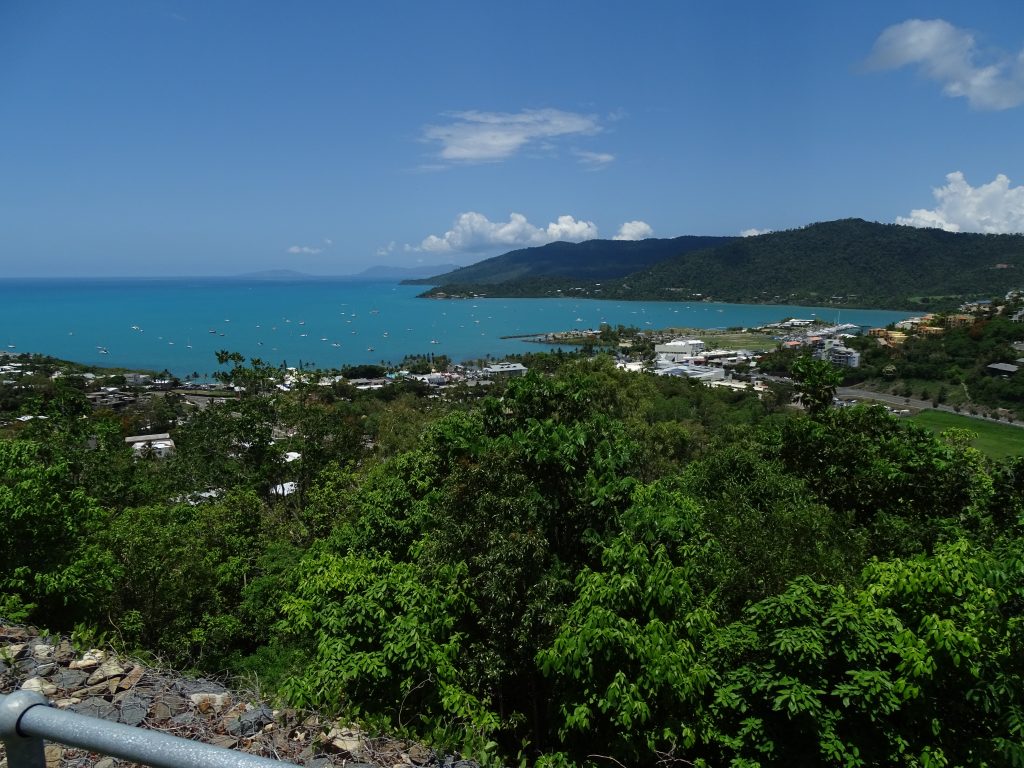
TRACE Visual was engaged to provide visual impact assessments for three major waterfront projects in Airlie Beach, Queensland, including two hotels and an apartment development. Their work was impeccable, and utilised cutting-edge techniques to provide balanced advice that guided the architectural design of these projects and provided objective and technically sound support for the development approvals processes. TRACE Visual's support was invaluable.

Neil de Bruyn

Director of Access Town Planning Consultants — Project manager and town planner

Shape Better Landscape Outcomes with TRACE Visual

Partner with experienced visual planning consultant in Queensland to assess, visualise and shape your next project with research-driven insights, advanced technology and specialist expertise. Get in touch with us today to discuss your project and discover how we can support your next development.

FAQs

Frequently Asked Questions

Have a question about visual planning, assessments or approvals? Email us — we respond promptly.

Landscape planning consultants analyse factors including site visibility, landscape sensitivity, visual receptors, viewing locations, topography, and existing character. We apply spatial analysis, field investigations and visualisation techniques to determine potential impacts and recommend suitable mitigation measures.
GIS technology enables evidence-based spatial analysis, visibility mapping, and terrain evaluation during visual planning assessments. As one of the reliable visual planning consultants in Queensland and Australia, we use GIS modelling to understand landscape relationships, identify viewing areas, and provide reliable data-driven insights for complex development proposals.
We support renewable energy projects through specialist visual impact assessments, photomontage simulations, glint and glare evaluations, and landscape analysis. These services help project teams understand visual effects while developing strategies that balance infrastructure needs with landscape values.
Photomontages provide realistic representations of proposed developments within existing landscapes. As a reliable landscape design consultant in Queensland, we create accurate and verifiable visual simulations using digital modelling techniques, helping clients, stakeholders, and planning authorities understand potential changes before construction and evaluate design responses effectively.
As one of the trusted visual planning consultants in Queensland and Australia, we combine landscape architecture, GIS expertise, academic research and visual communication to deliver technically robust assessments. Led by Dr Ata Tara, the practice applies innovative methodologies developed through extensive industry and research experience.
Yes, we prepare comprehensive assessment reports, visualisations and supporting documentation that assist planning applications. Our expertise helps clients address visual considerations, communicate project impacts clearly and provide evidence-based information throughout approval and submission processes.
We evaluate landscape character by examining physical features, land use, landform and landcover, cultural influences, visual qualities, and spatial patterns. This approach helps identify landscape values and guides development strategies that respect the unique identity and context of each location.
We integrate academic research with professional practice to develop evidence-based assessment methods. Our approach combines quantitative analysis, GIS technologies, and landscape theory to provide reliable findings that support planning decisions and complex development evaluations.
A Landscape and Visual Impact Assessment may be required where a proposed development could affect landscape character, scenic values or views from sensitive locations as required in the planning process. The specific requirements depend on the project, planning framework, site context, and relevant approval authority.