
Hindu Temple VIA (Pearcedale, VIC, 2023)
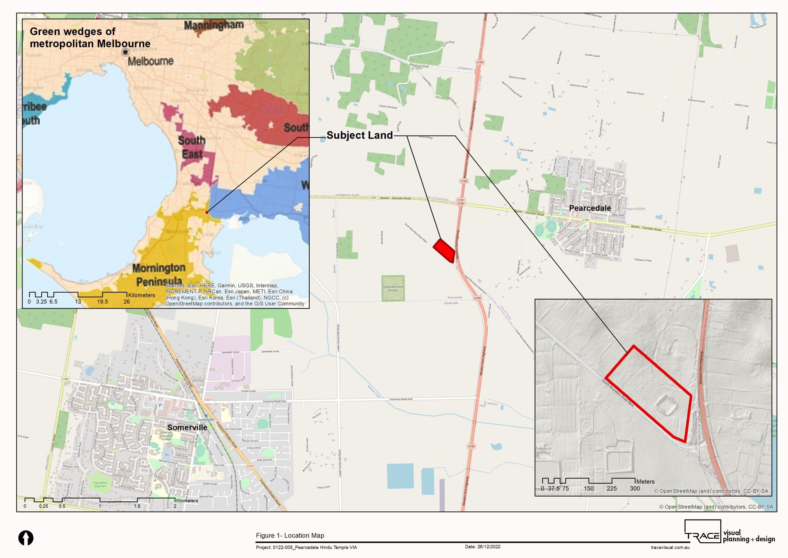
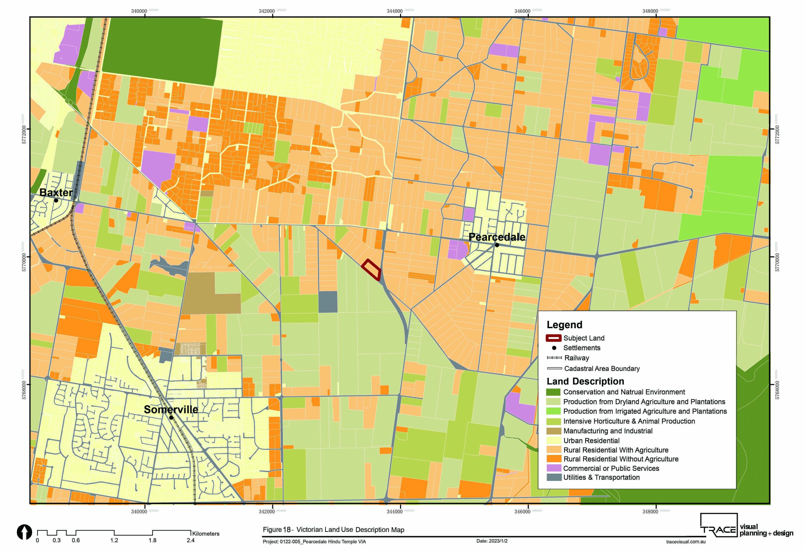
TRACE was engaged to prepare a Landscape and Visual Impact Assessment (LVIA) for a proposed Hindu Temple complex at Pearcedale on the Mornington Peninsula. Located within the Mornington Peninsula Green Wedge Zone, the project required careful consideration of the relationship between the proposed temple, surrounding rural landscape character, major road corridors and nearby residential receptors.
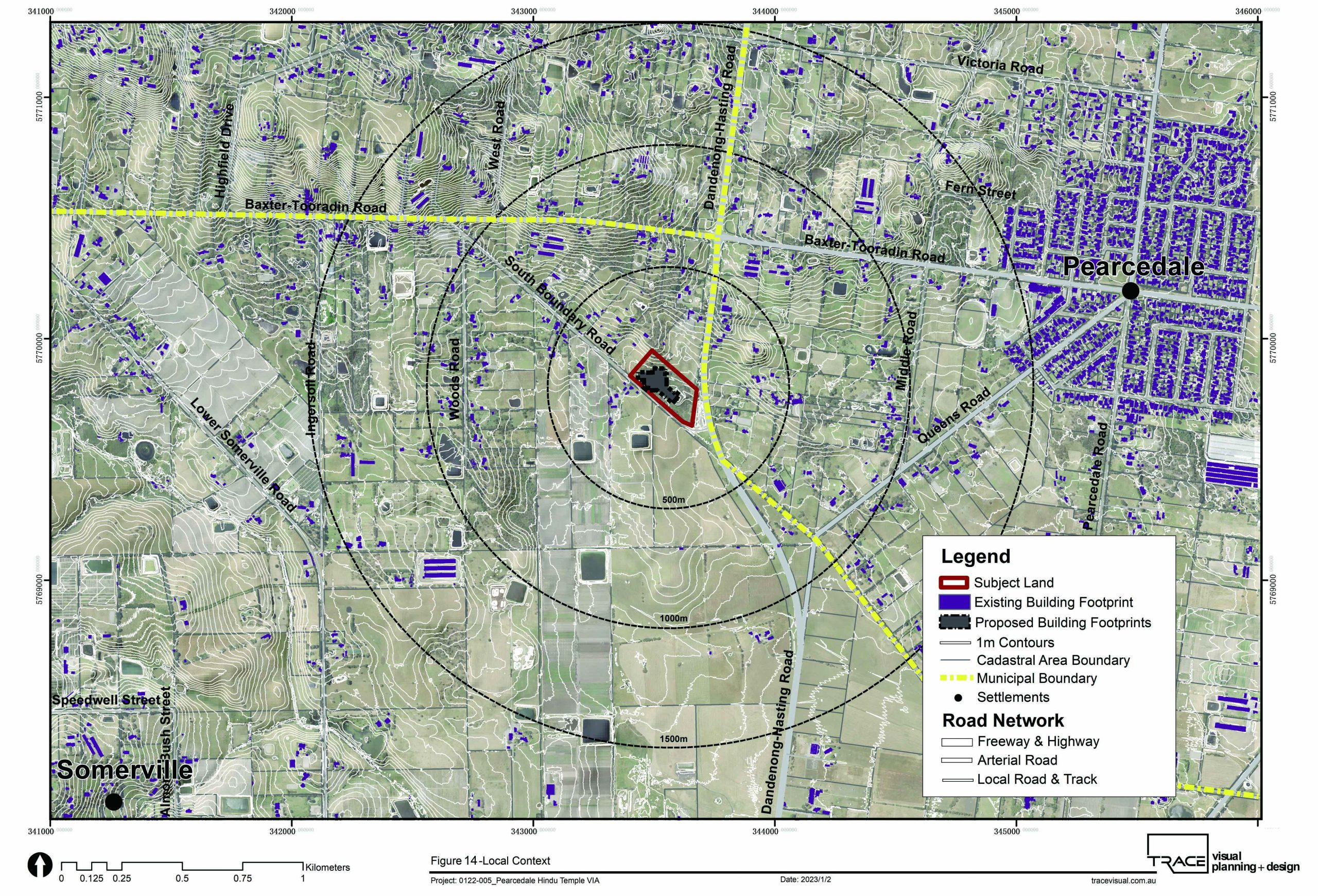
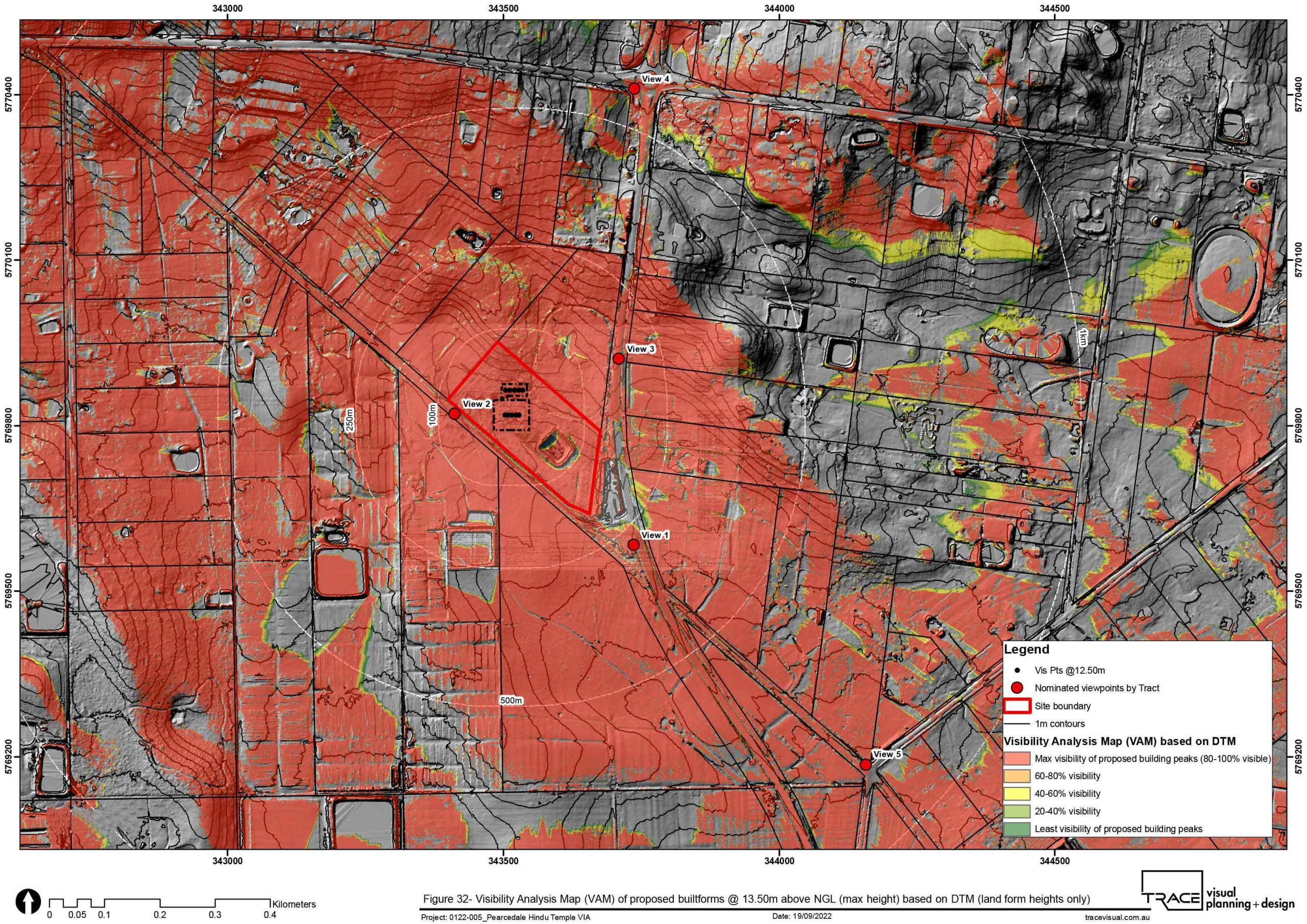
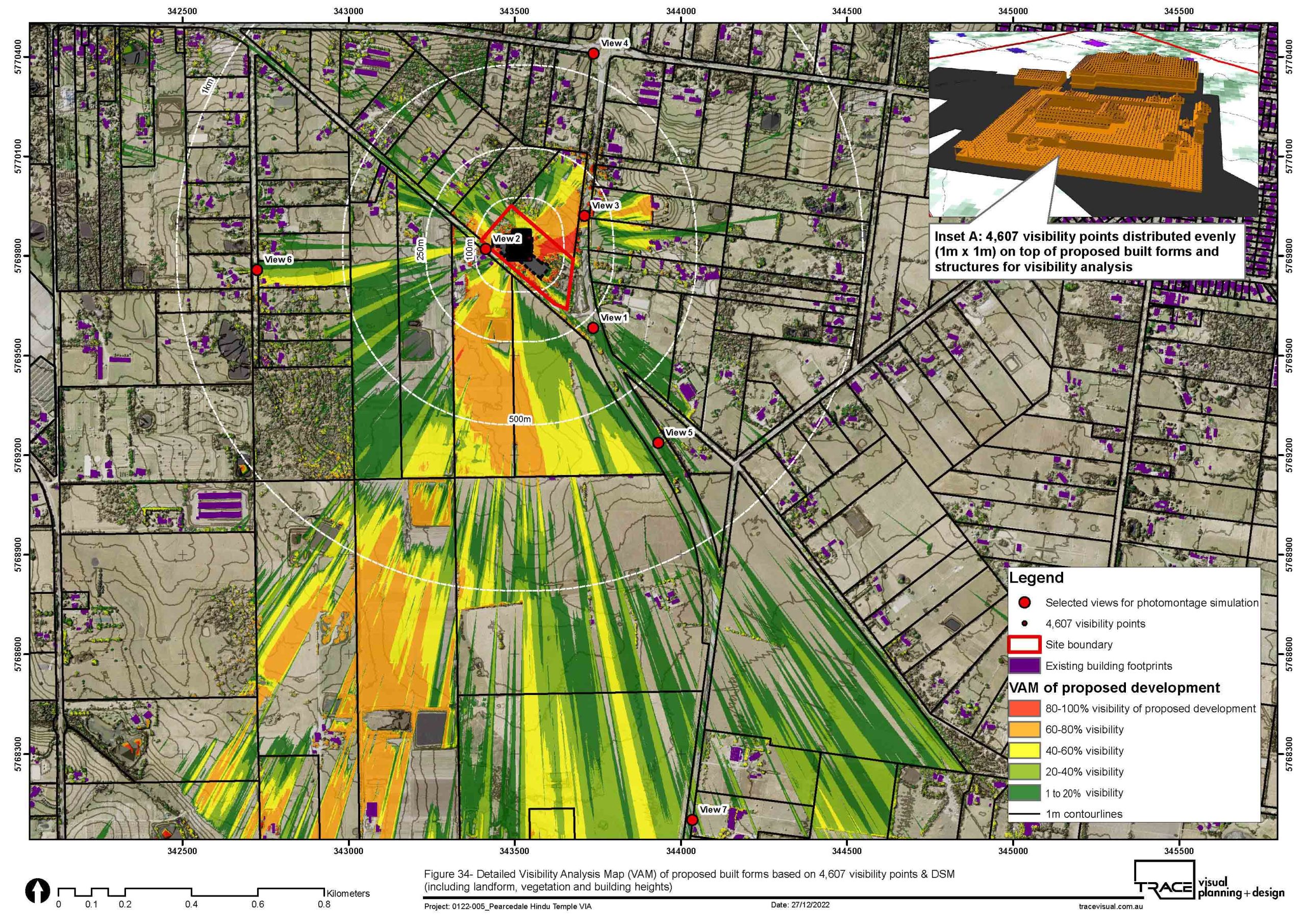
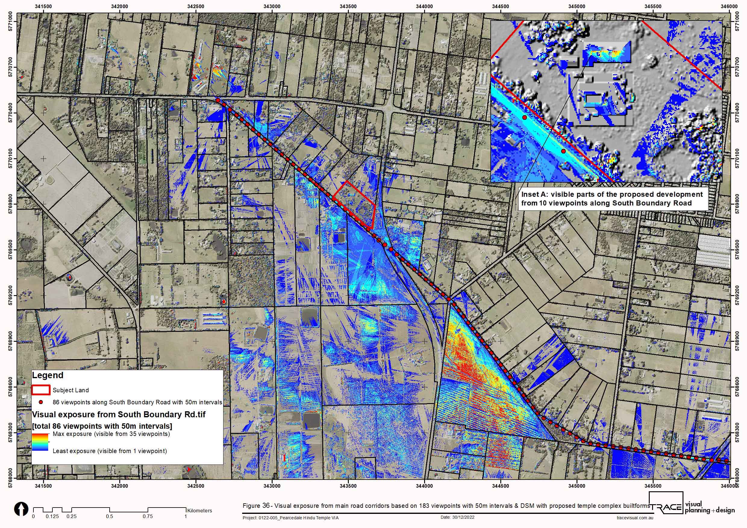
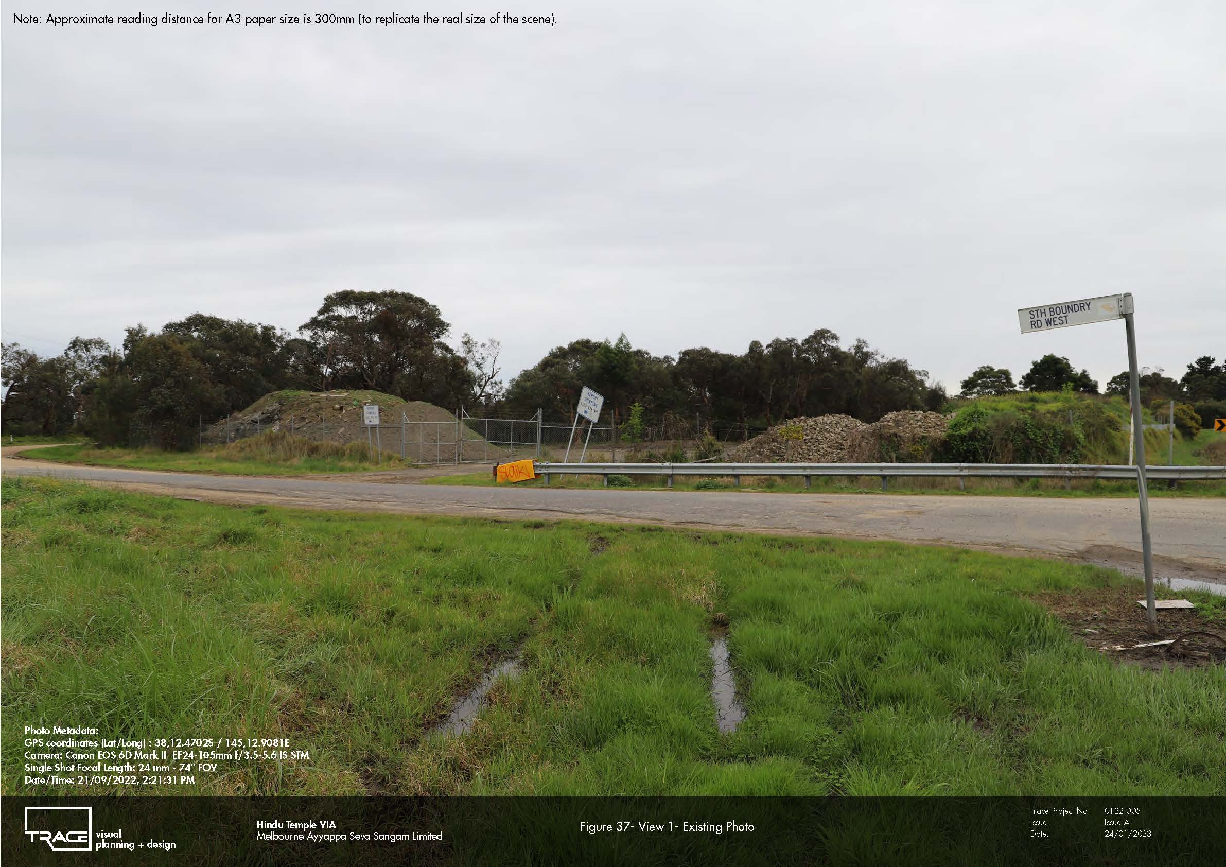
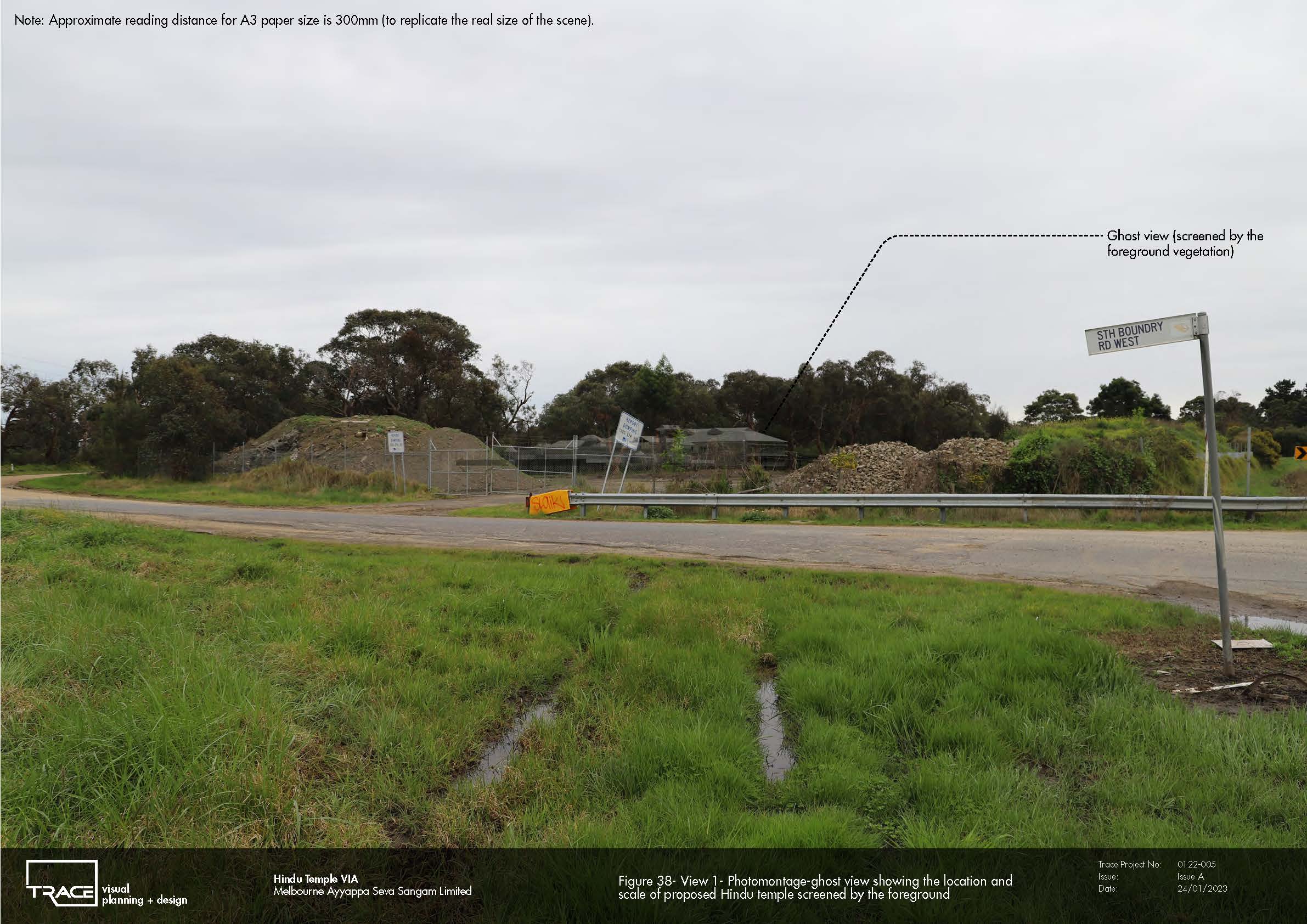
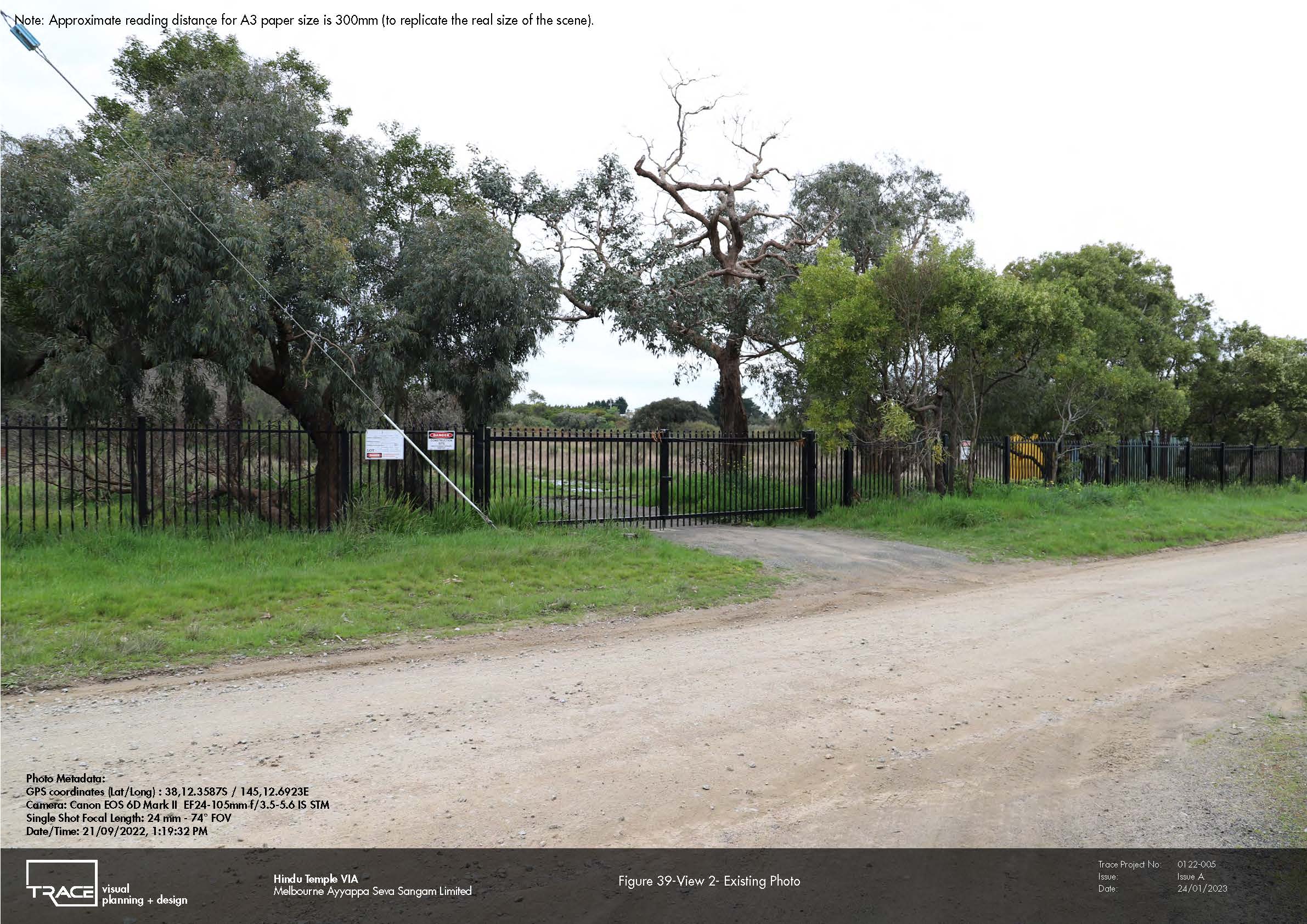
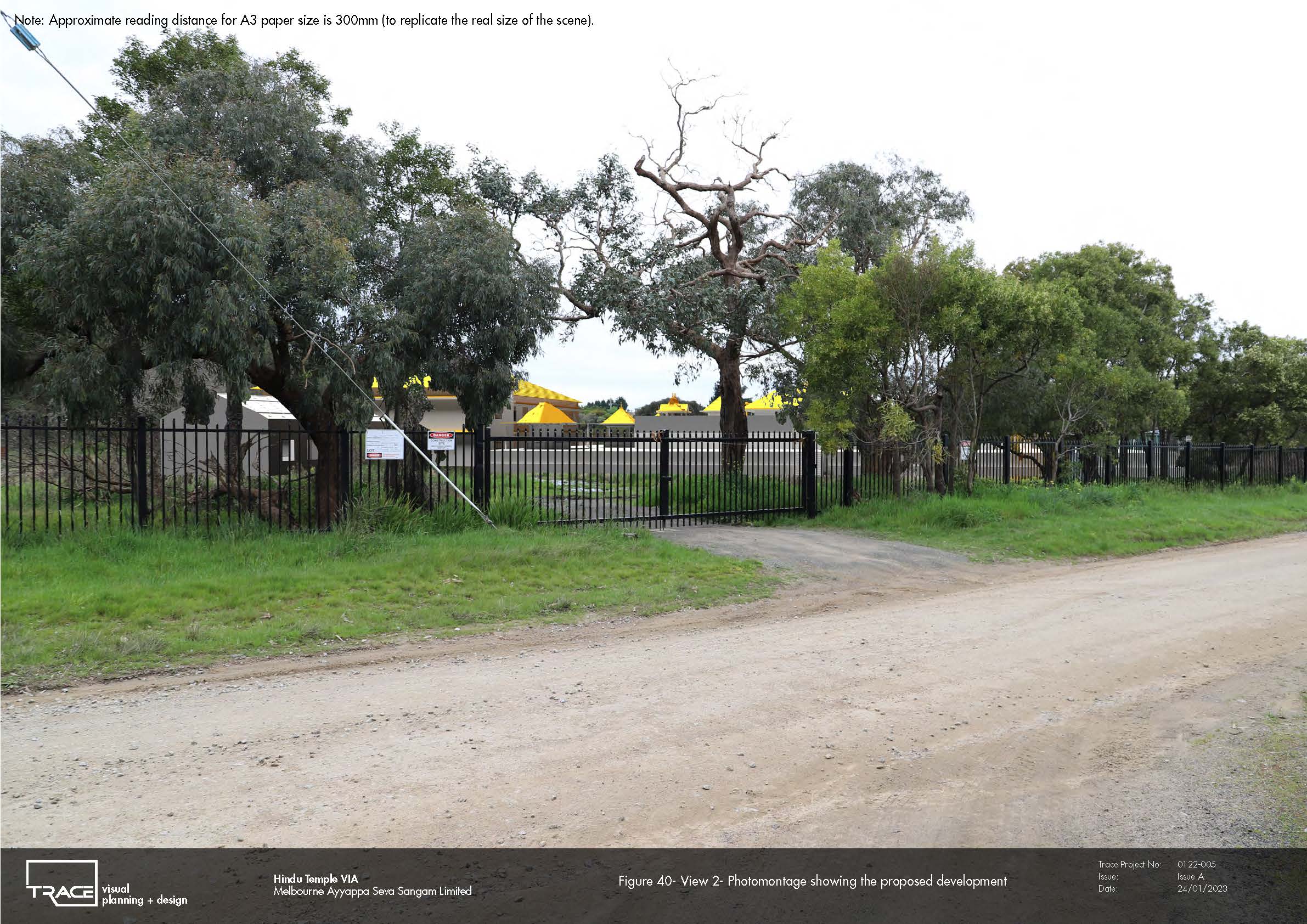
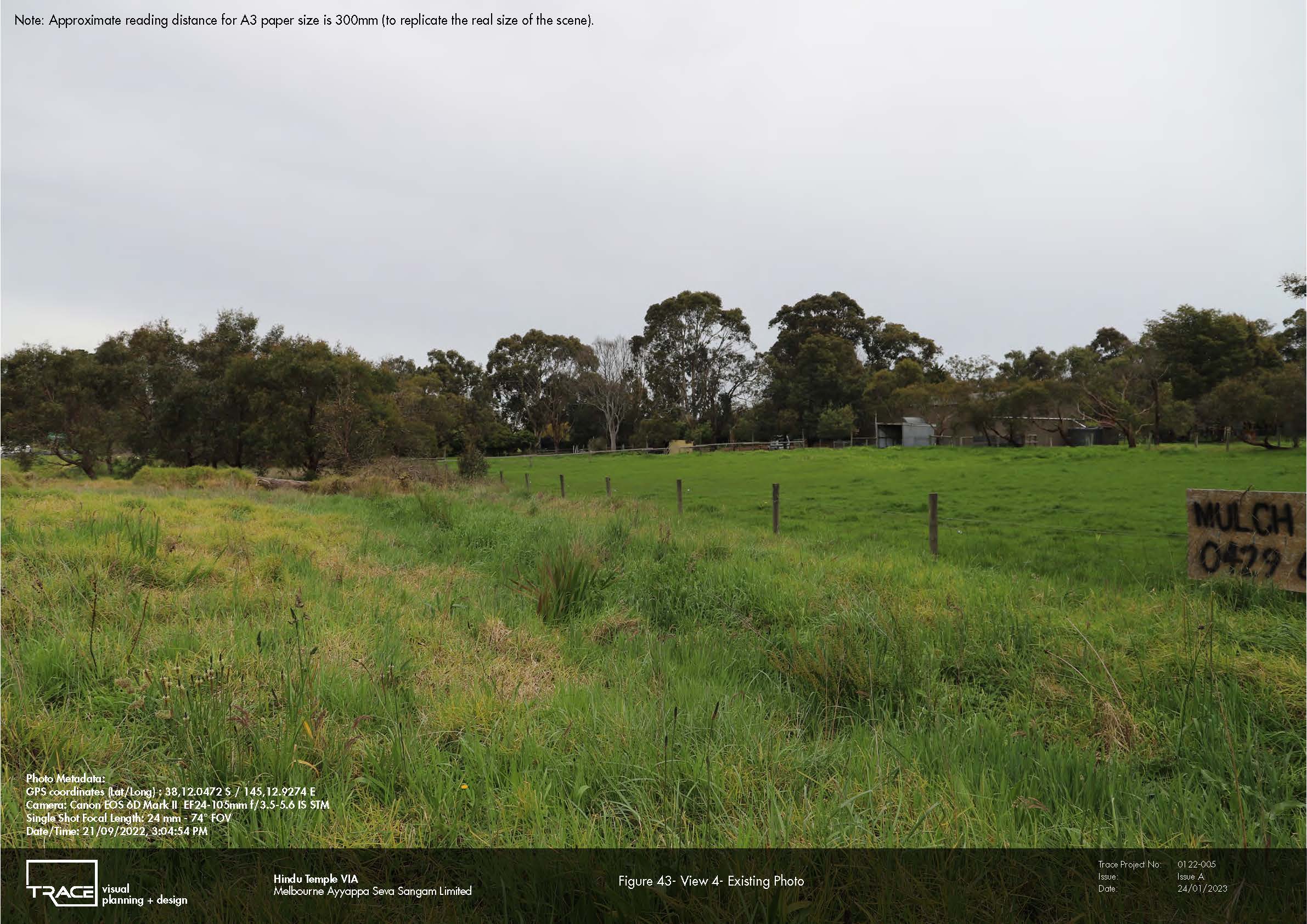
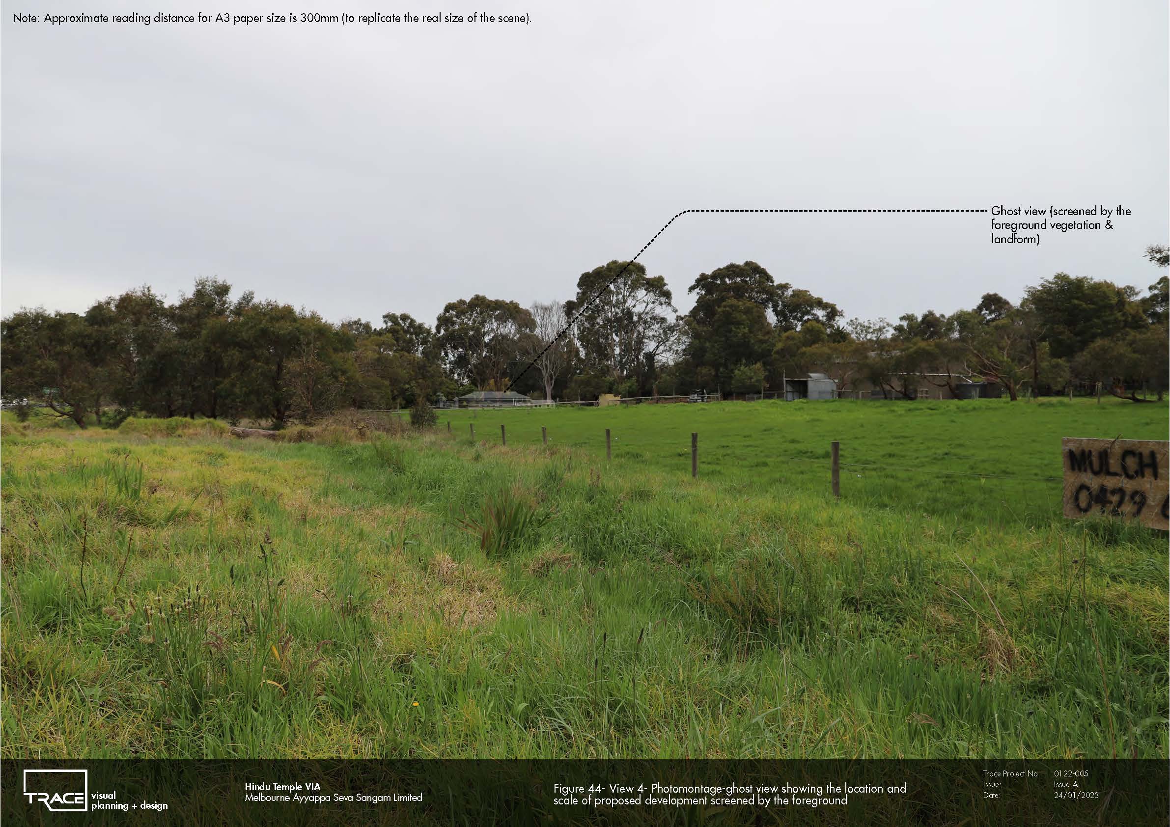
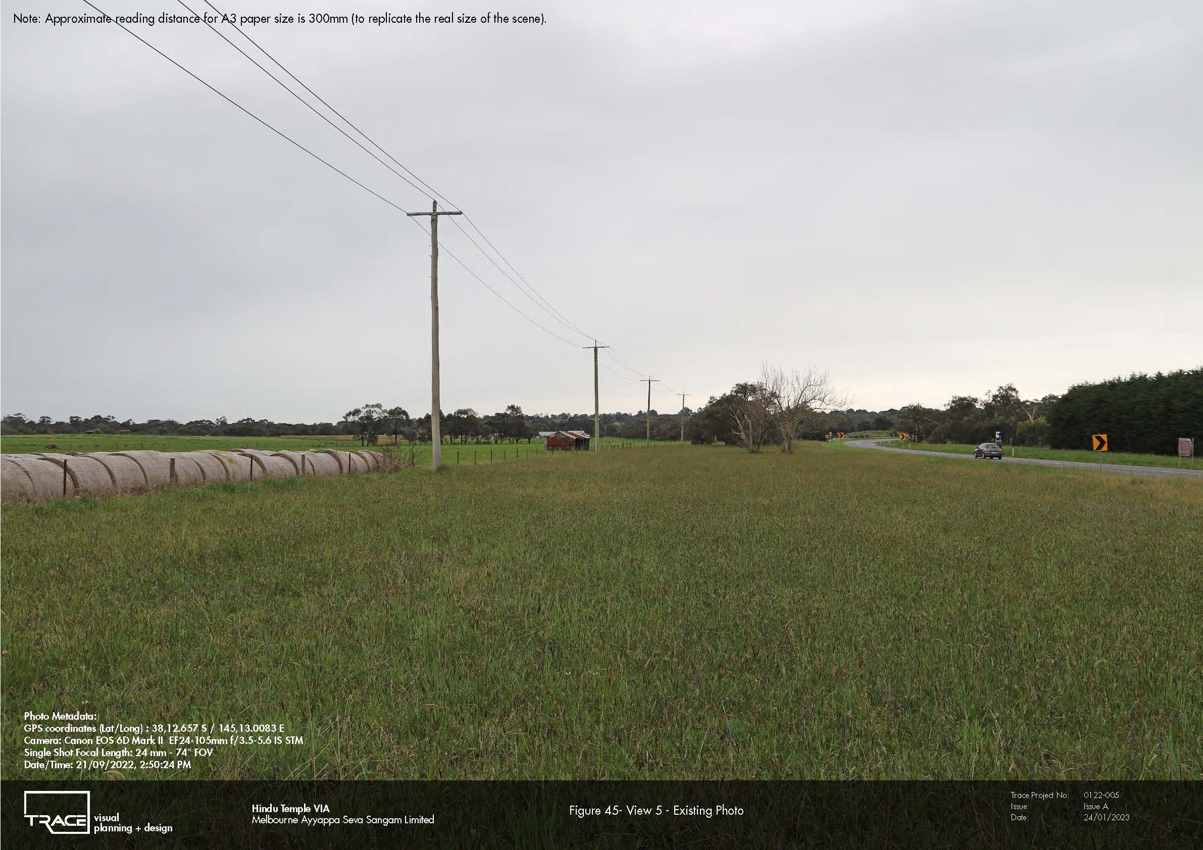
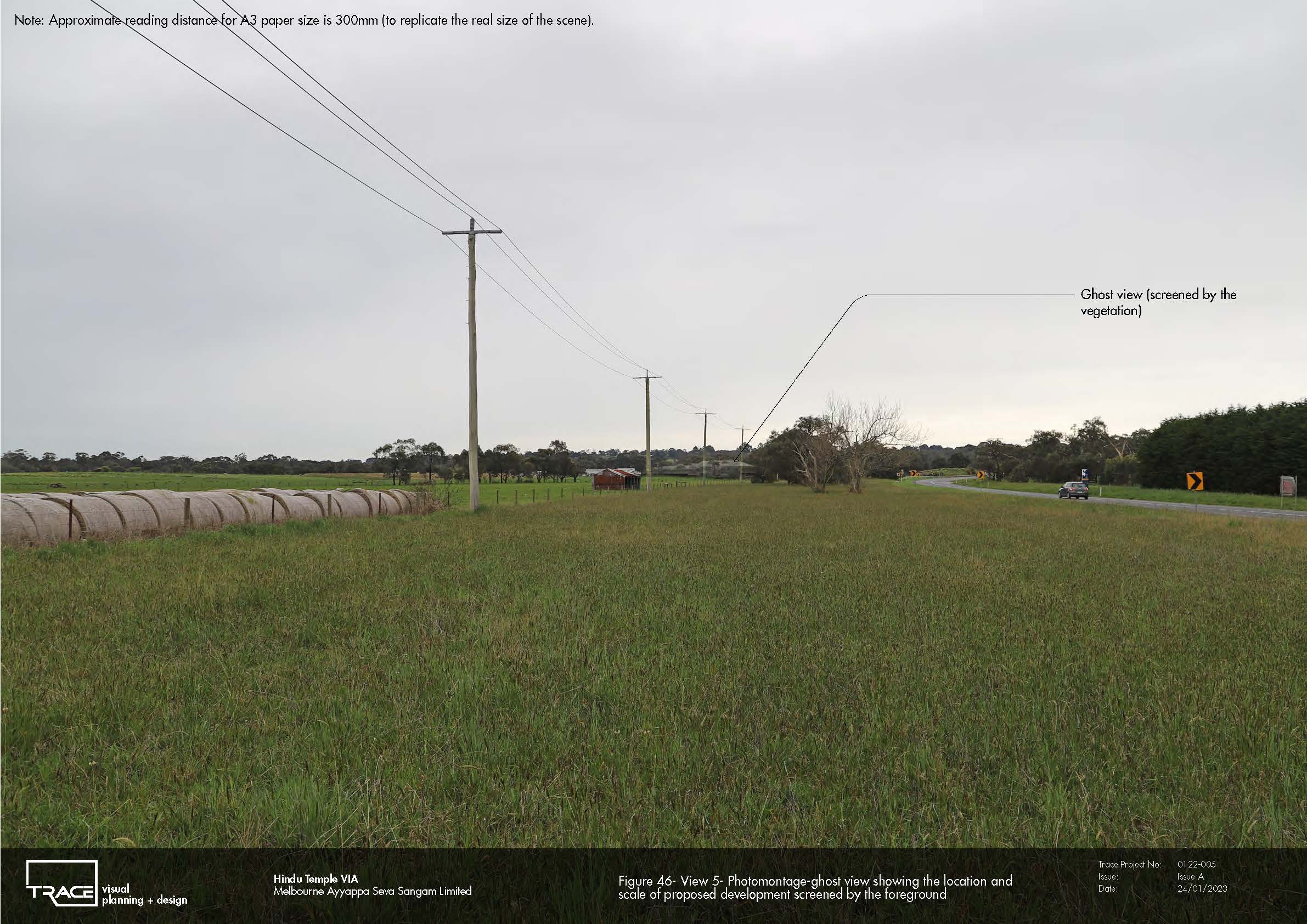
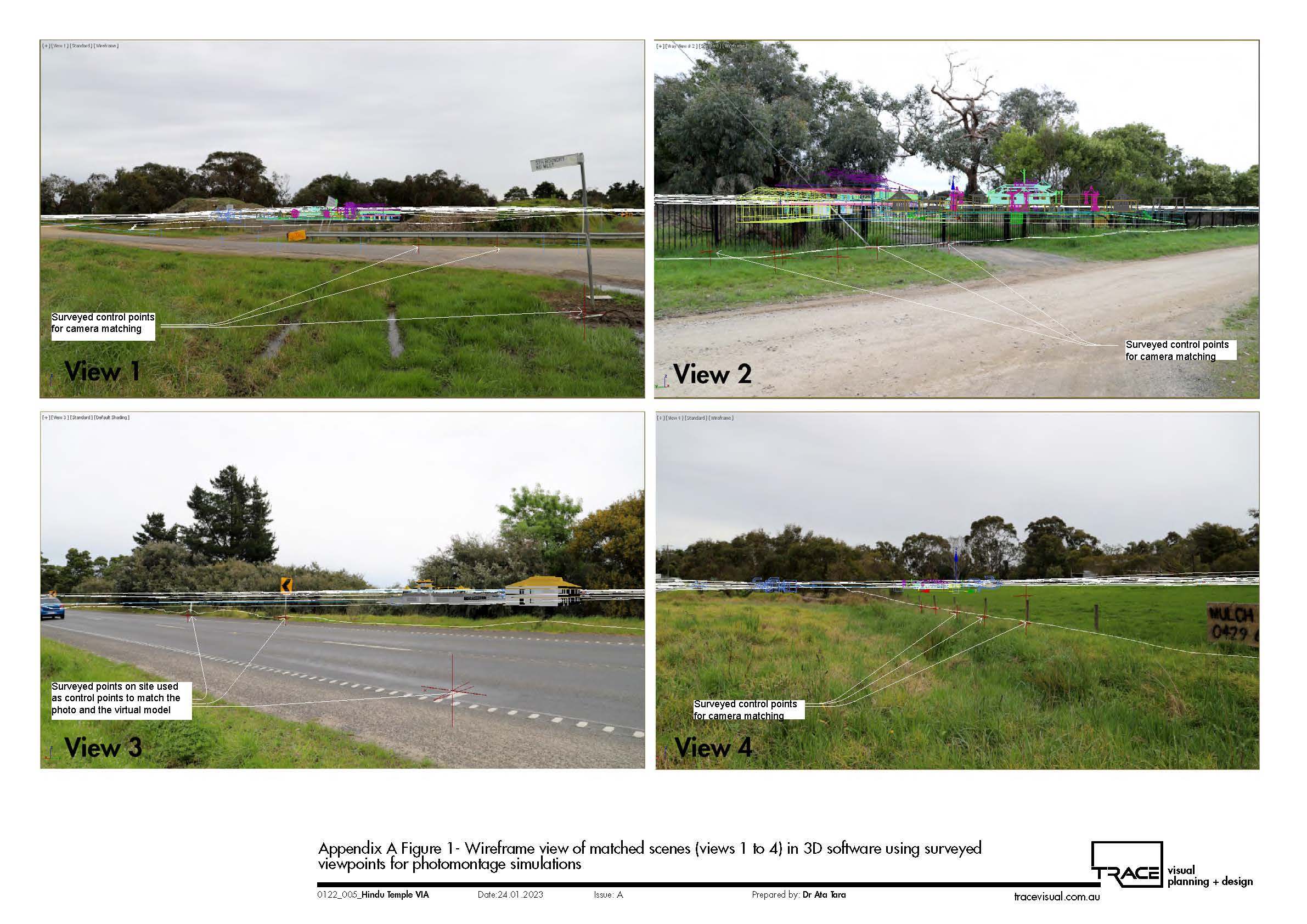
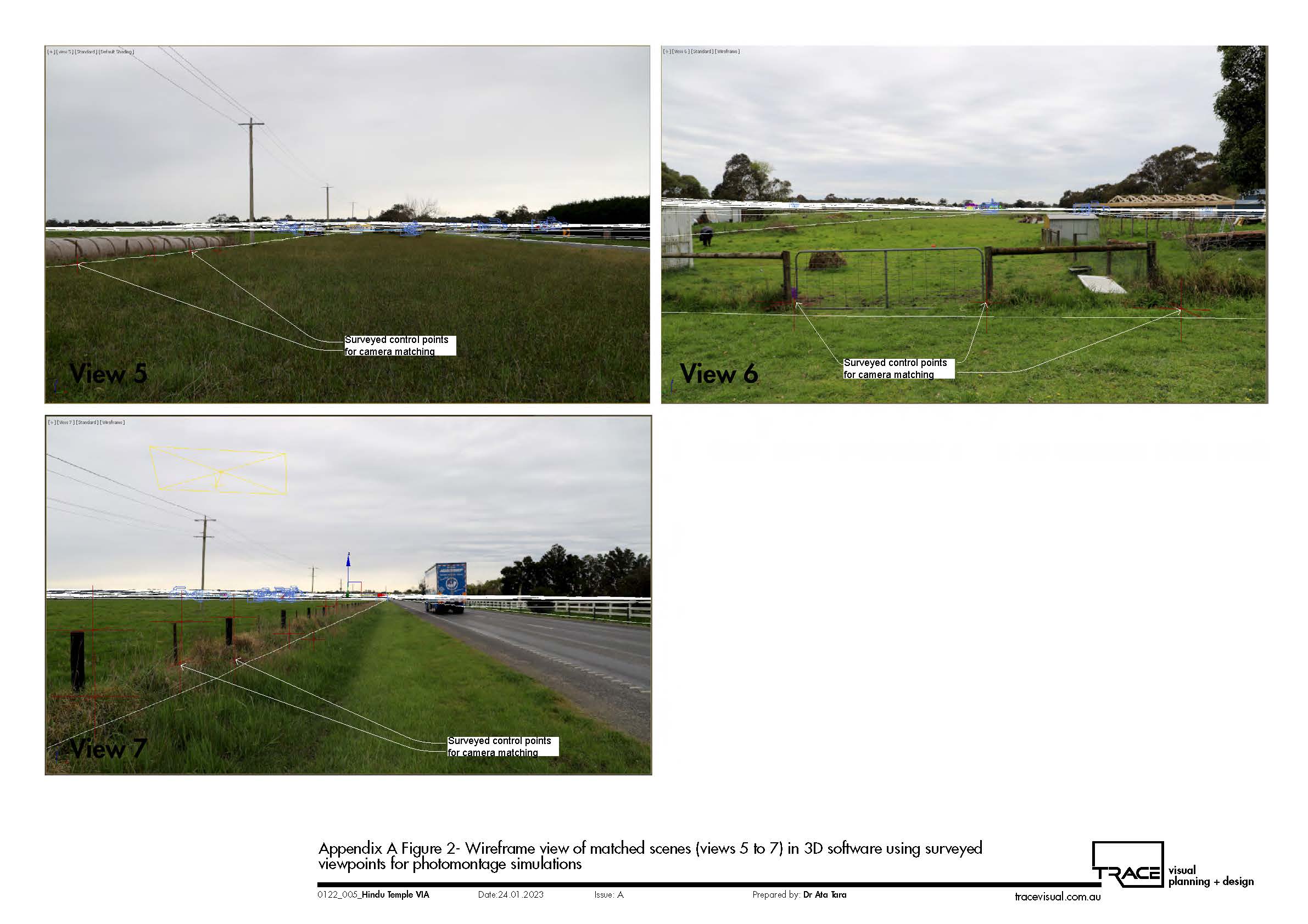
TRACE applied an evidence-based methodology combining landscape character and scenic quality assessment, Visual Absorption Capacity (VAC), GIS-based Visibility Analysis Mapping (VAM), roadway visual exposure modelling, field verification and verified photomontage simulations. High-resolution LiDAR was used to develop terrain and surface models incorporating landform, vegetation and built-form screening. Seven representative viewpoints were then assessed, supported by accurately surveyed photography and 3D camera-matched simulations.
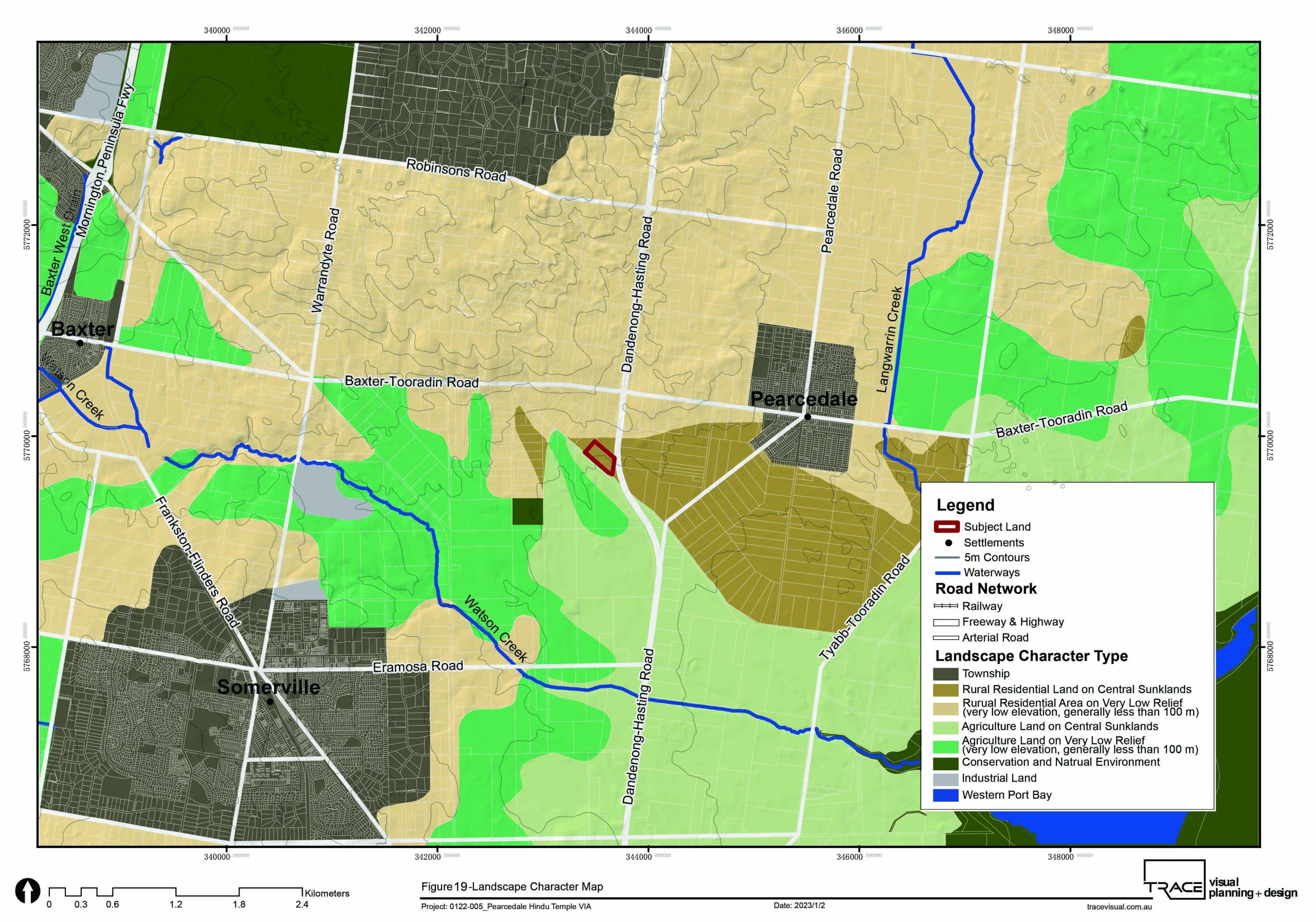
The assessment demonstrated the important role of existing vegetation in containing views of the development. While visual effects varied according to distance and receptor location, the broader landscape was found to have moderate scenic quality and relatively high visual absorption capacity. The assessment concluded that, with retention and enhancement of vegetation screening and appropriate treatment of visually prominent building elements, the proposal would not result in a significant change to the prevailing rural character experienced from surrounding public roads.