
Telecommunications Infrastructure — Visual Impact Assessment Portfolio
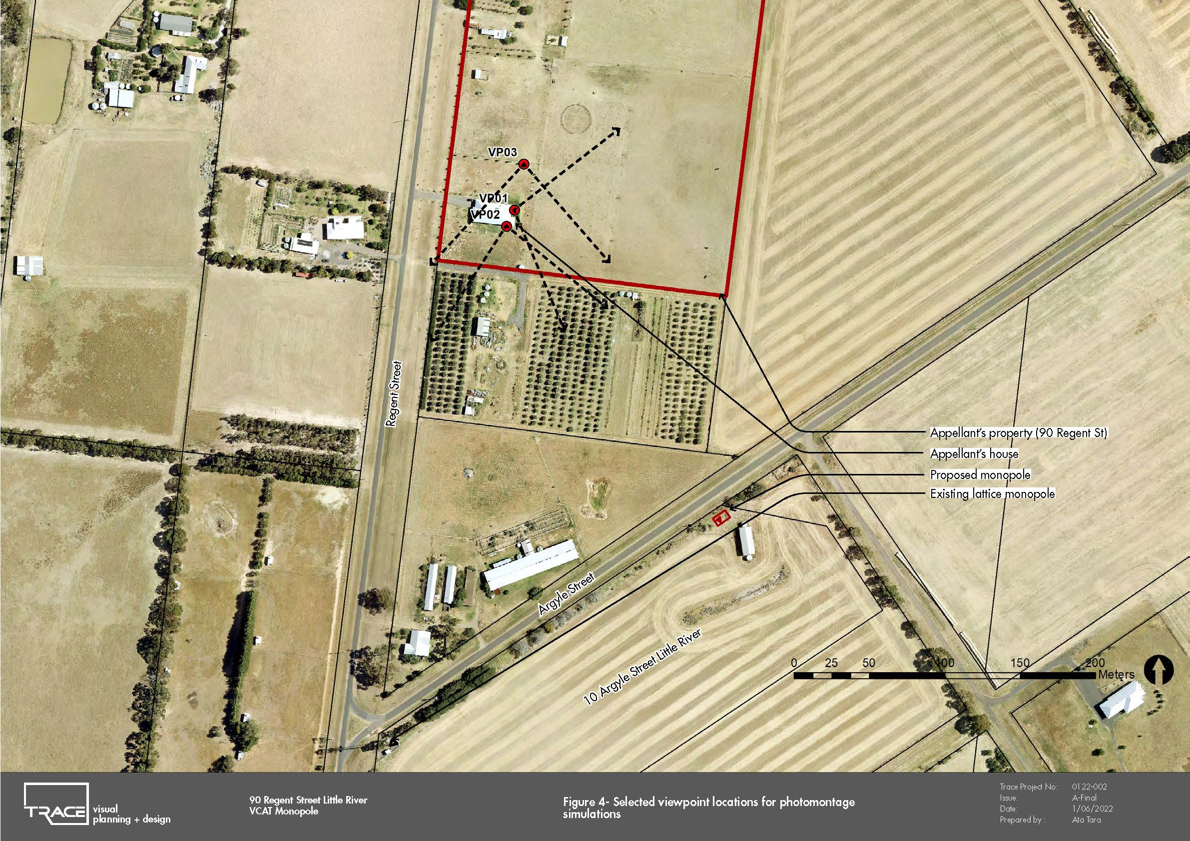
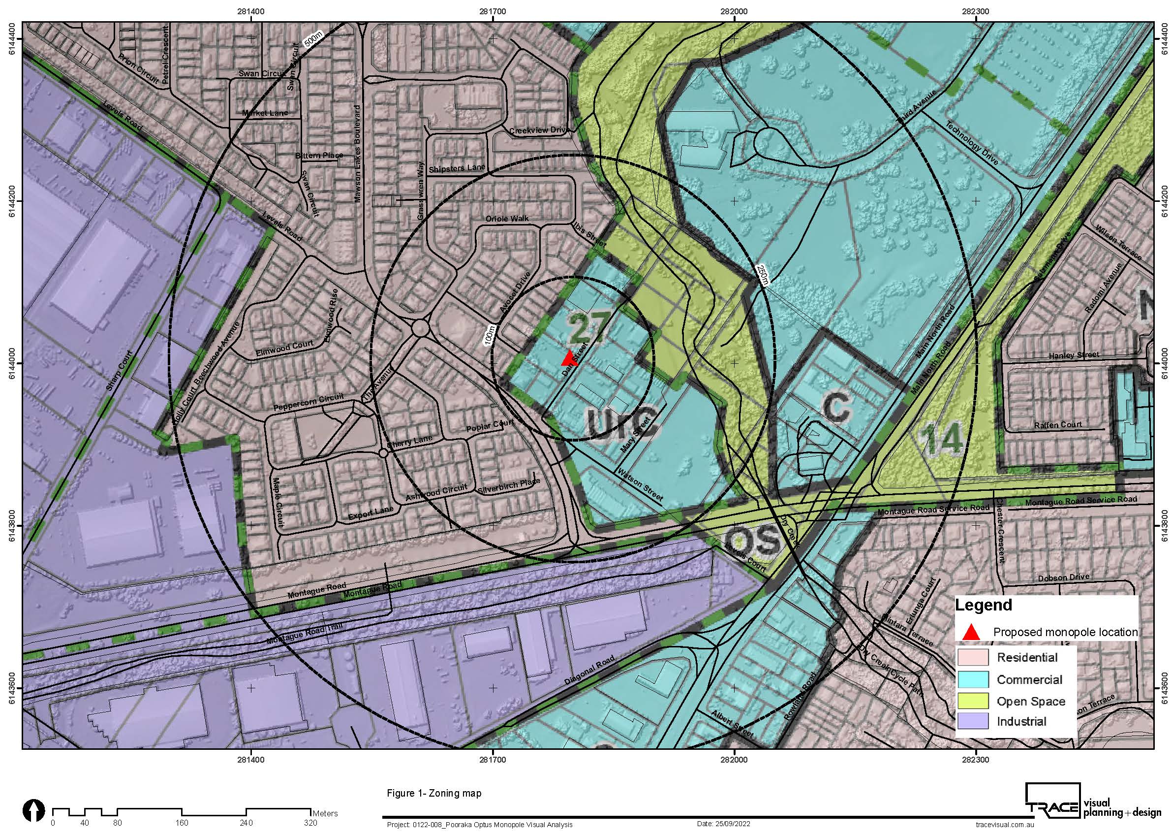
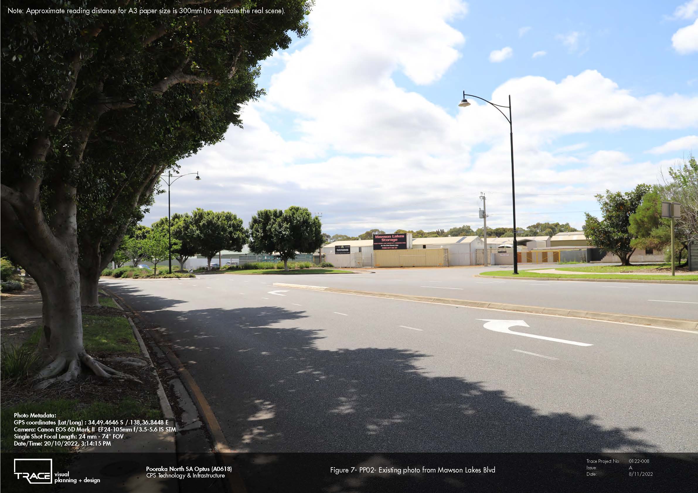
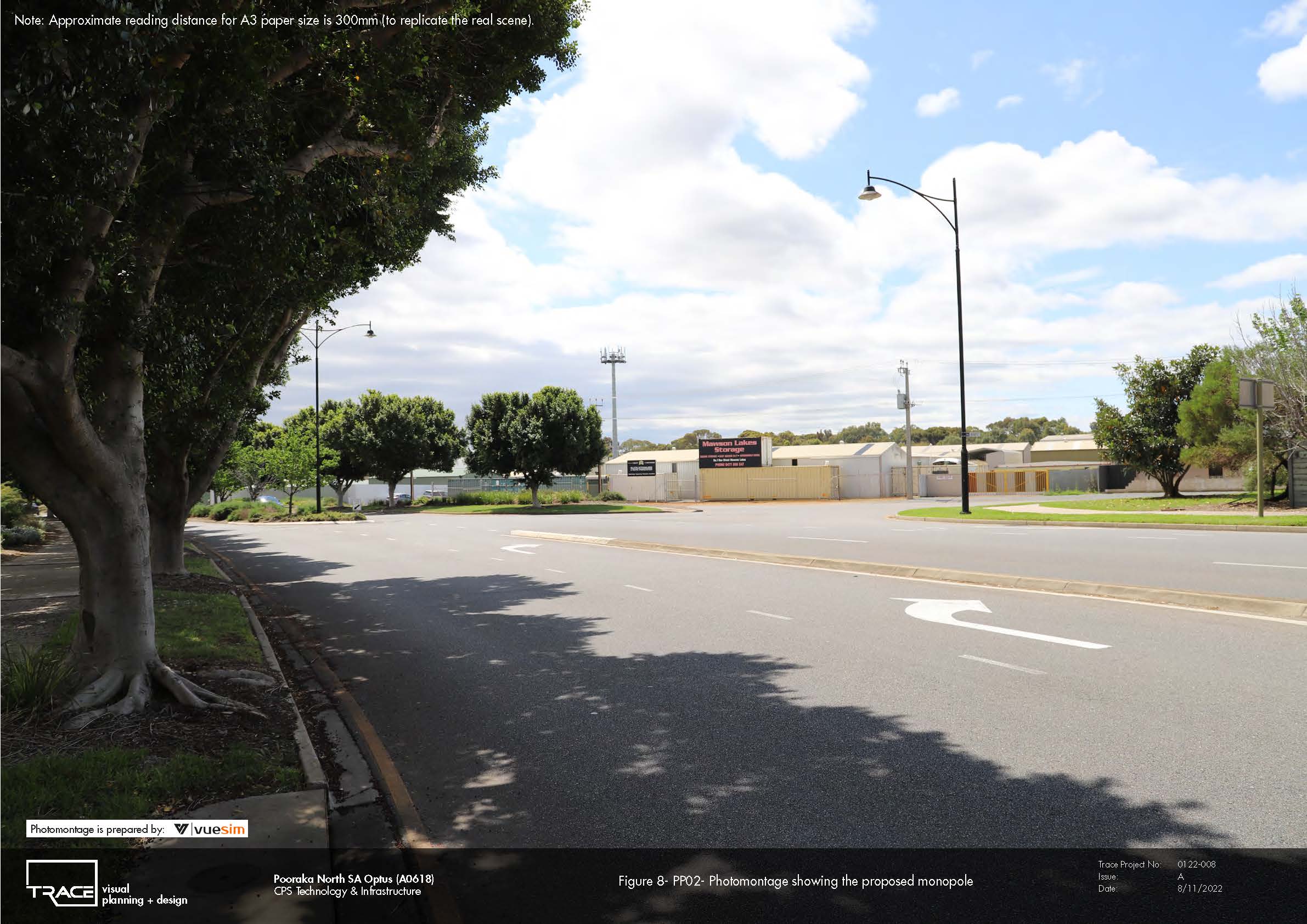
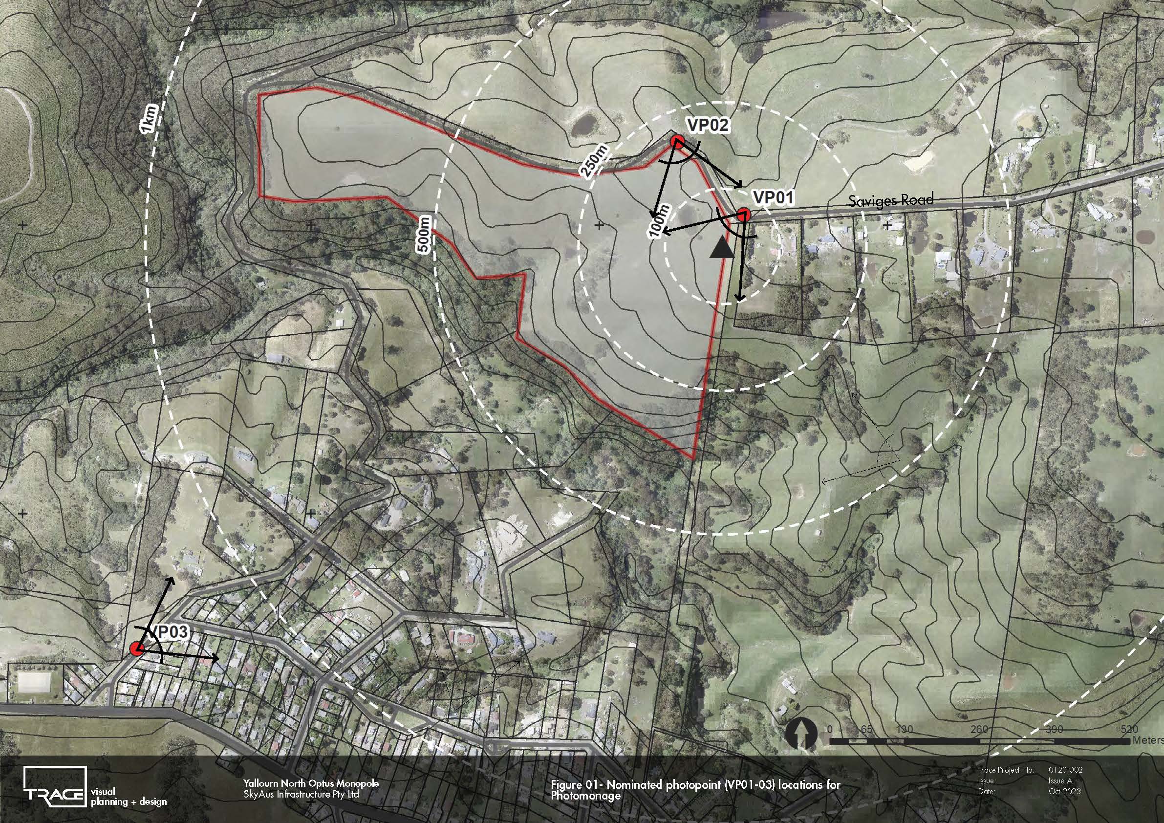
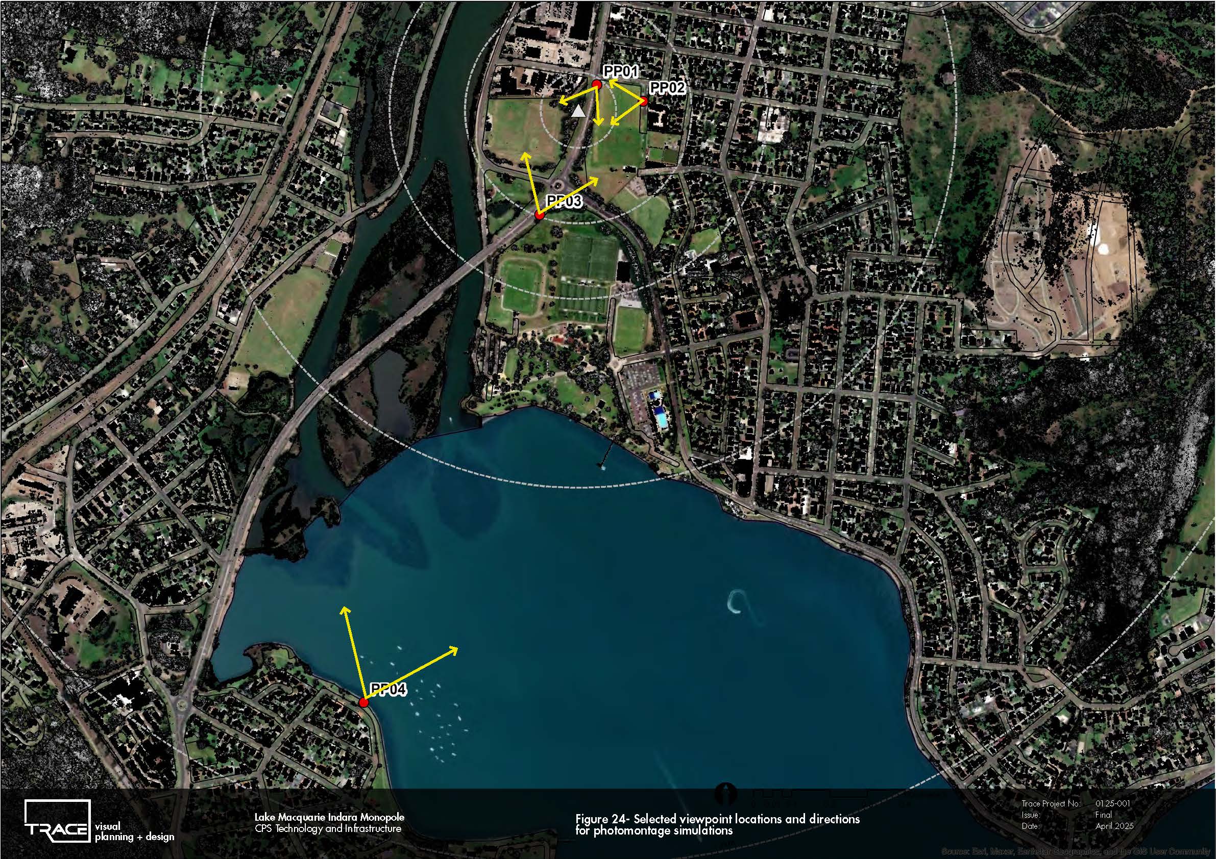
TRACE has undertaken a portfolio of Landscape and Visual Impact Assessments and visual analysis studies for telecommunications infrastructure across Victoria, New South Wales and South Australia, including projects at Wallan, Little River, Pakenham West, Yallourn North, Sorrento East, Pooraka and Lake Macquarie. The work encompasses urban, peri-urban, rural, recreational and scenically sensitive landscapes, requiring different approaches to understanding the visibility and visual prominence of monopole infrastructure.
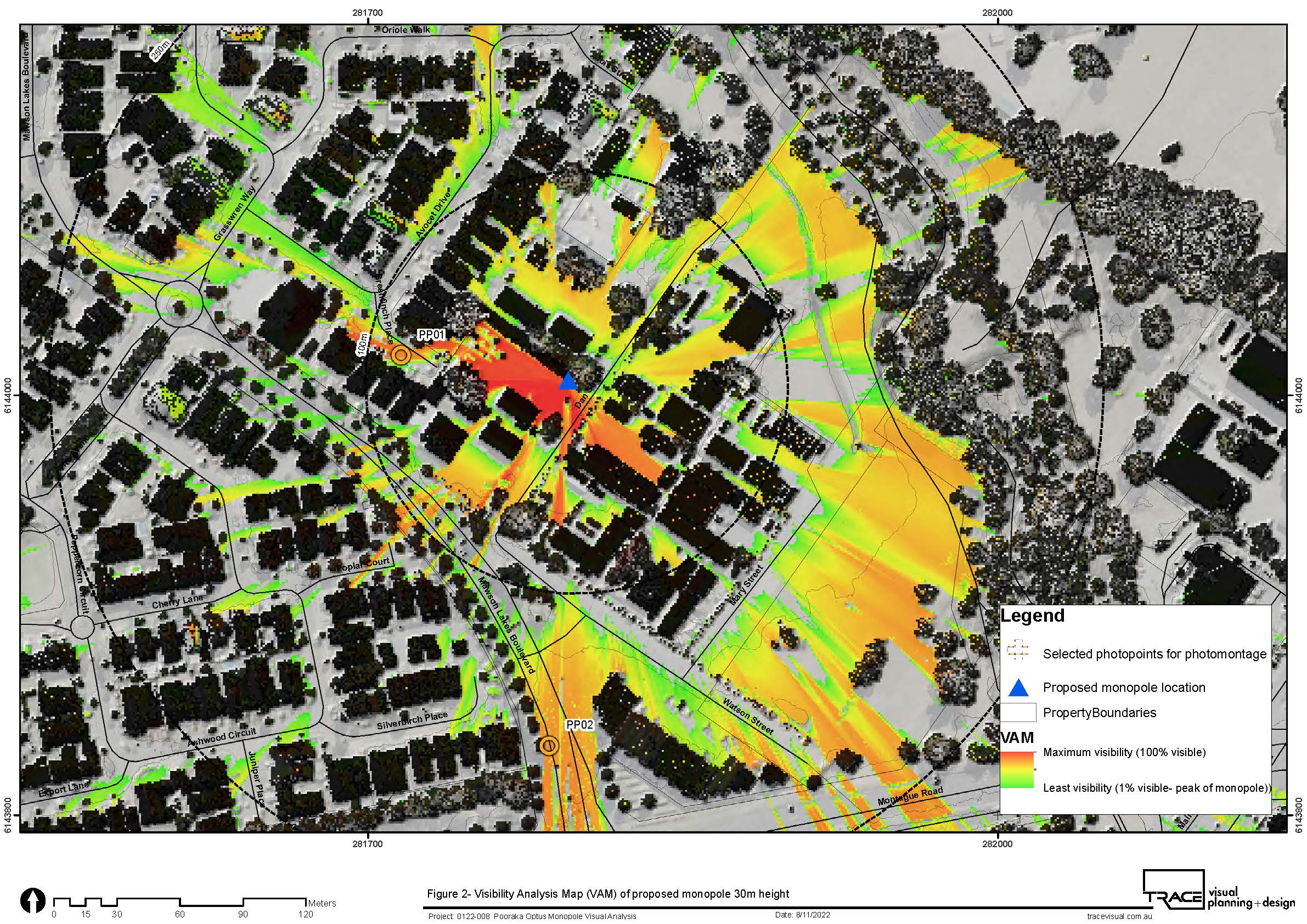
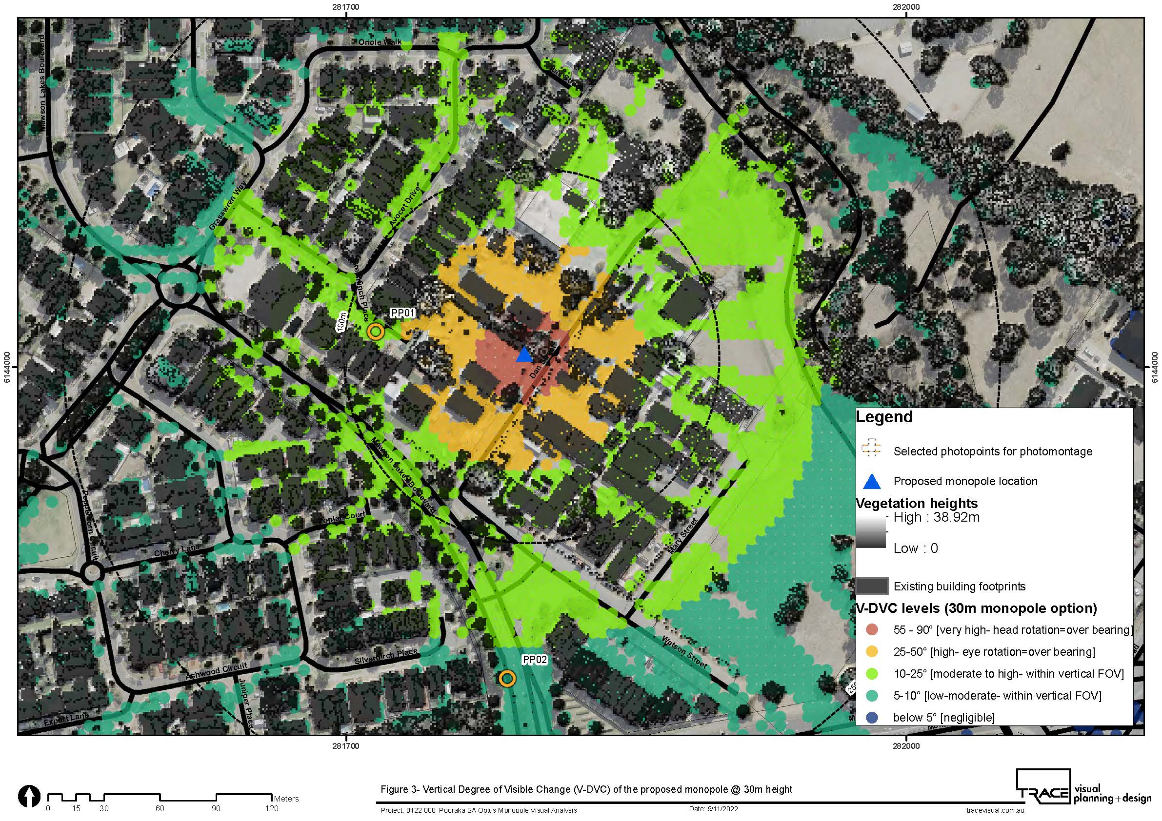
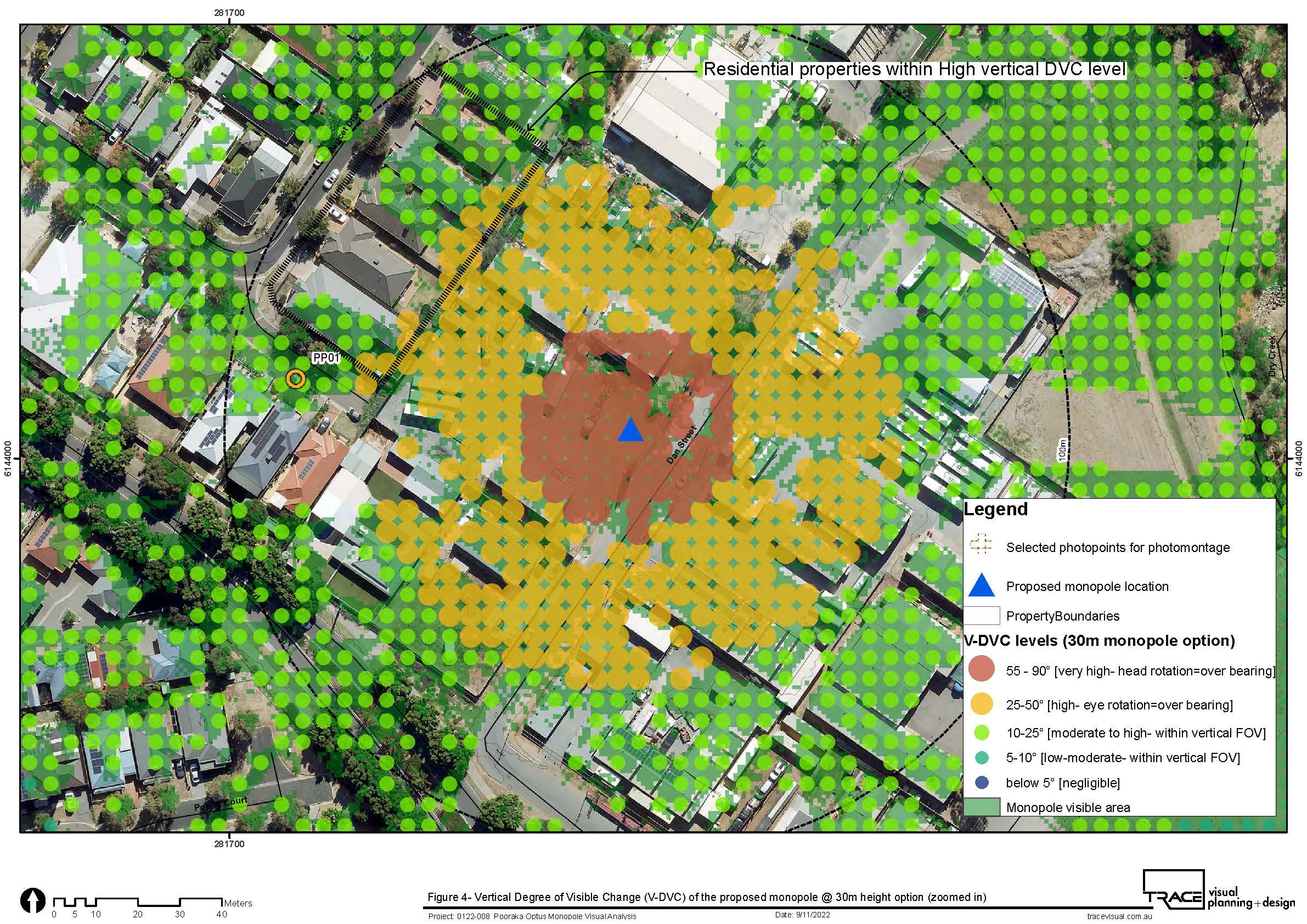
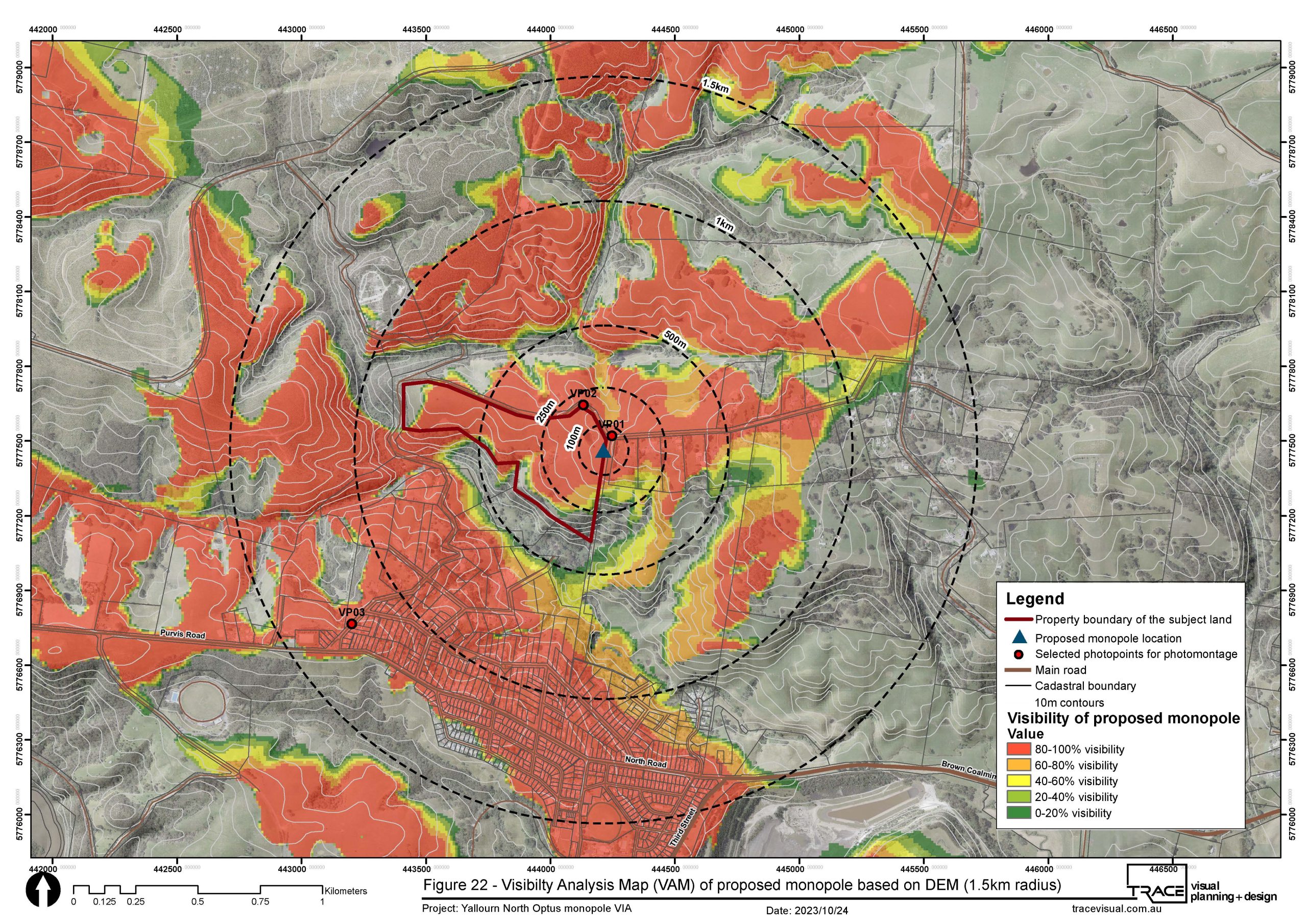
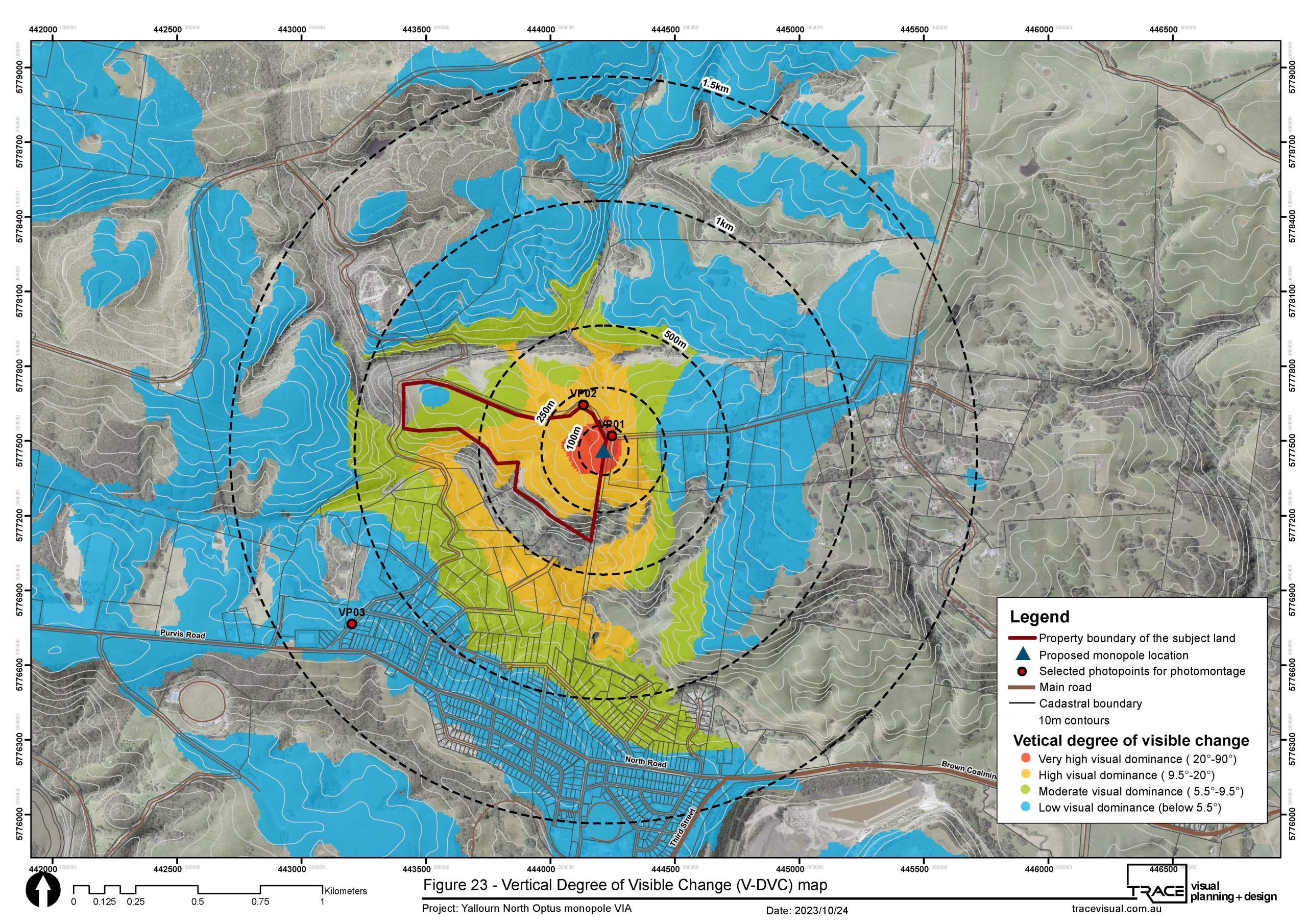
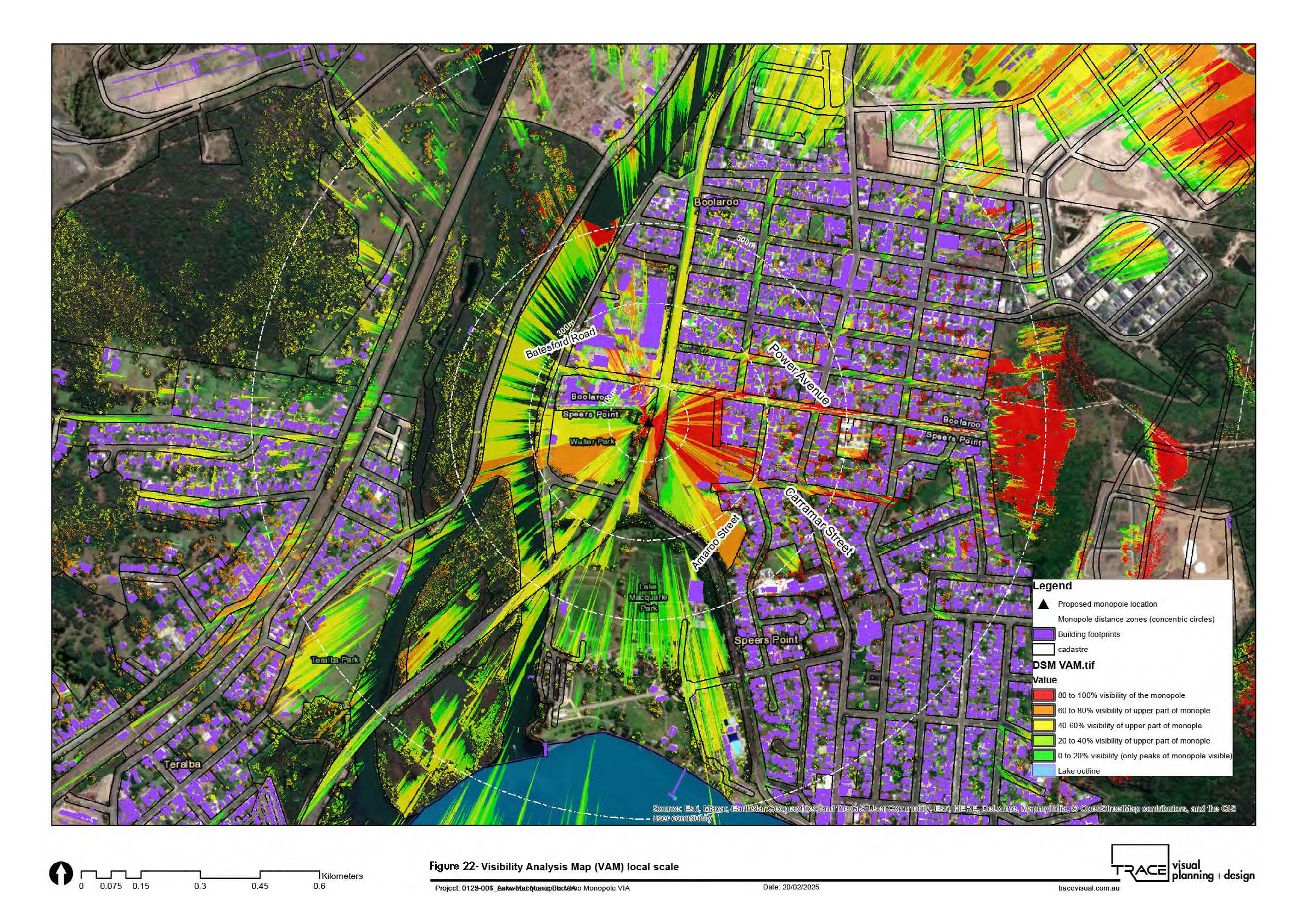
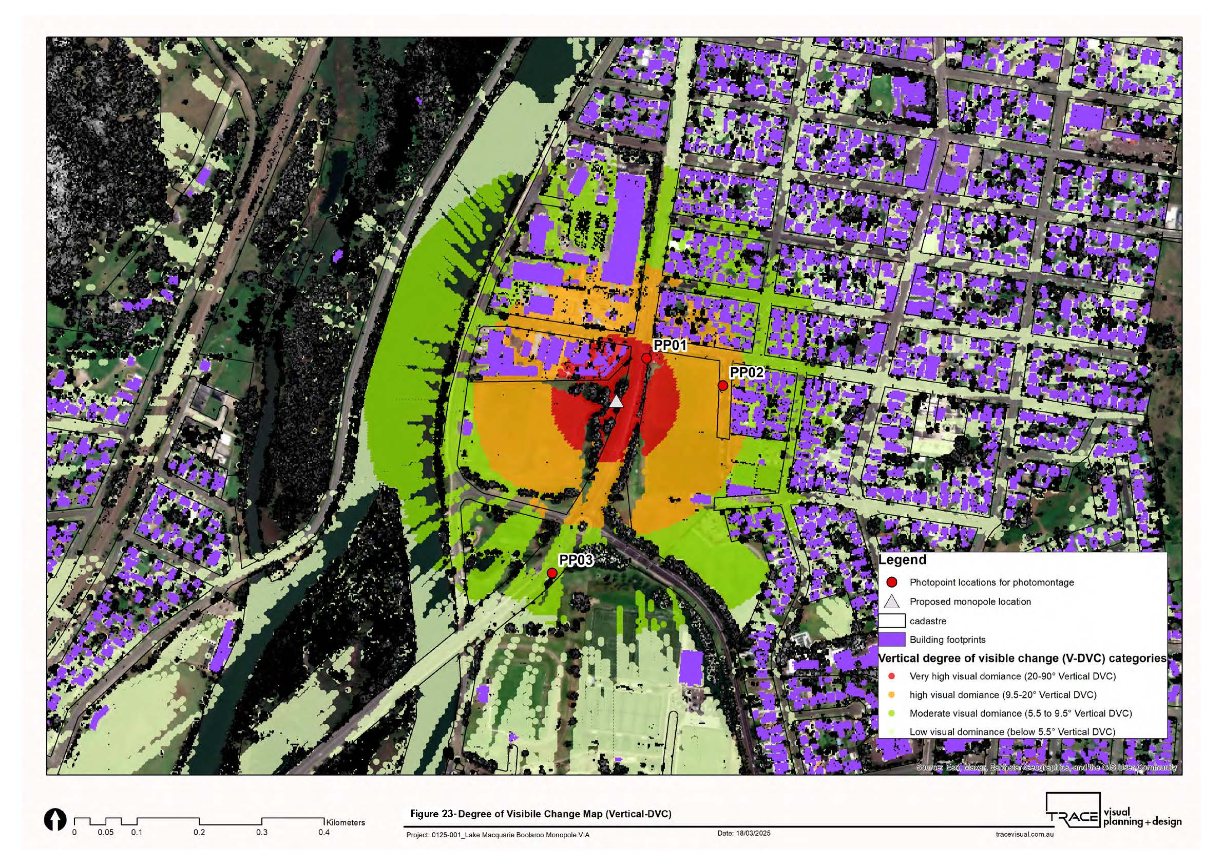
TRACE’s methodology integrates landscape character assessment, GIS-based Visibility Analysis Mapping (VAM), LiDAR and terrain modelling, Degree of Visible Change (DVC), field investigation, receptor sensitivity assessment, 3D modelling and verified photomontage simulation. Visibility modelling is used to establish where and how much of a monopole may be visible, while TRACE’s DVC methodology uses sightline angles and human field-of-view principles to quantify its potential visual dominance.
The assessments extend beyond development approval to support site selection and design optimisation. For example, alternative monopole locations at Pakenham West were compared according to elevation, visibility, visual dominance and proximity to sensitive residential receptors, demonstrating how visual analysis can inform infrastructure siting before a preferred location is established.
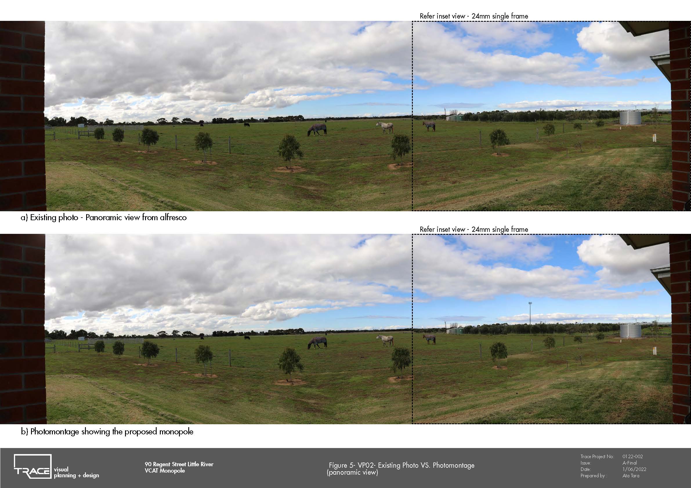
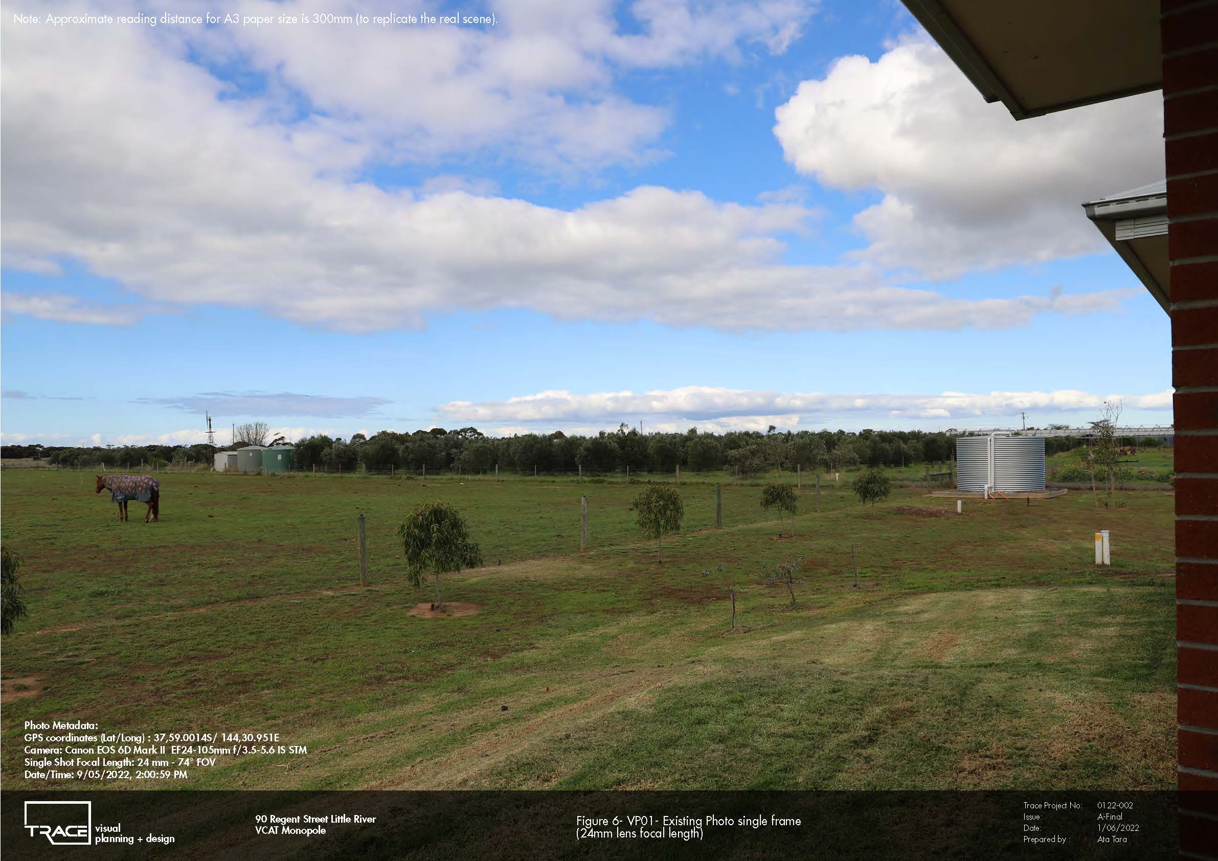
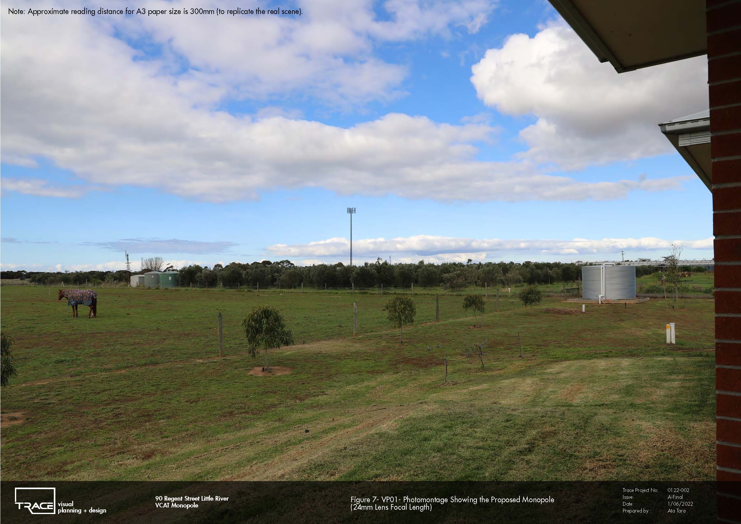
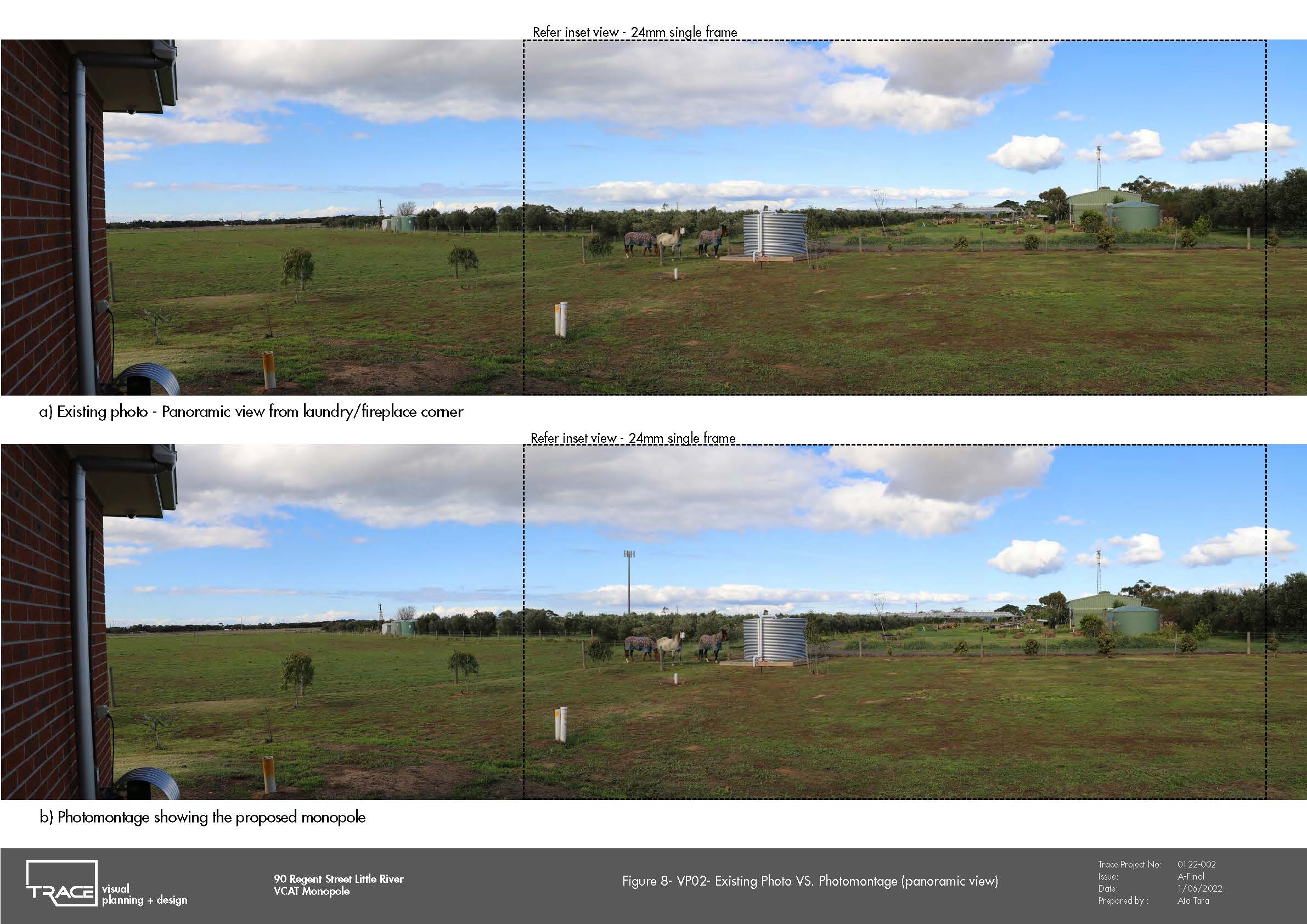
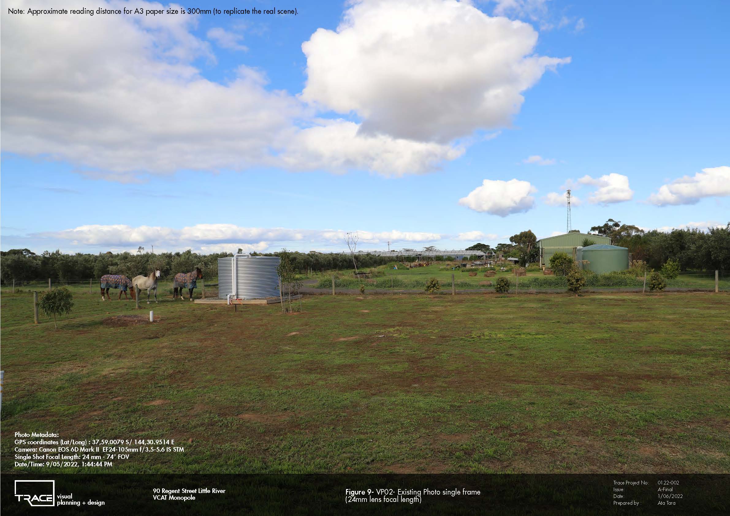
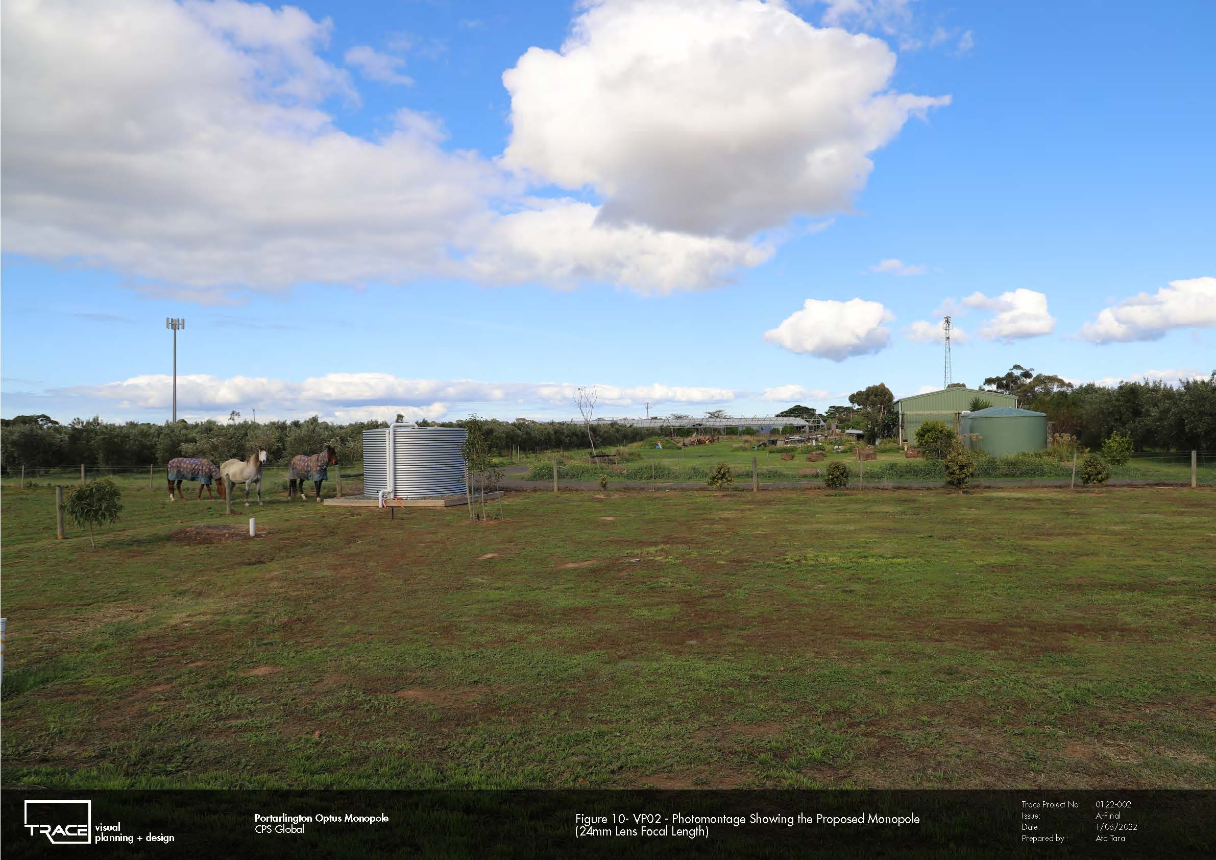
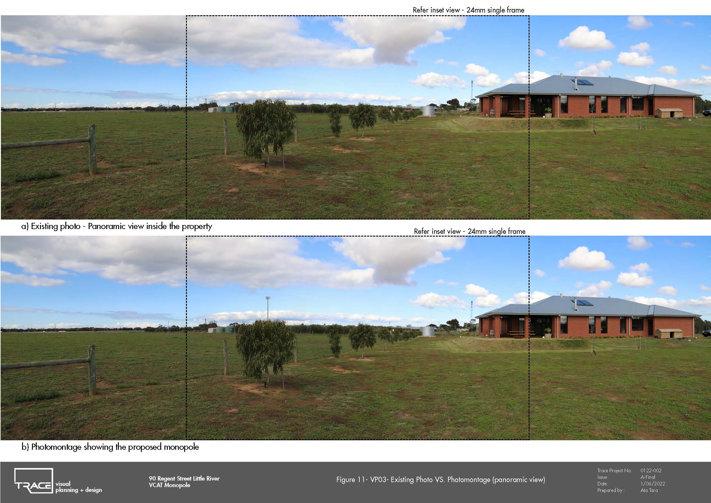
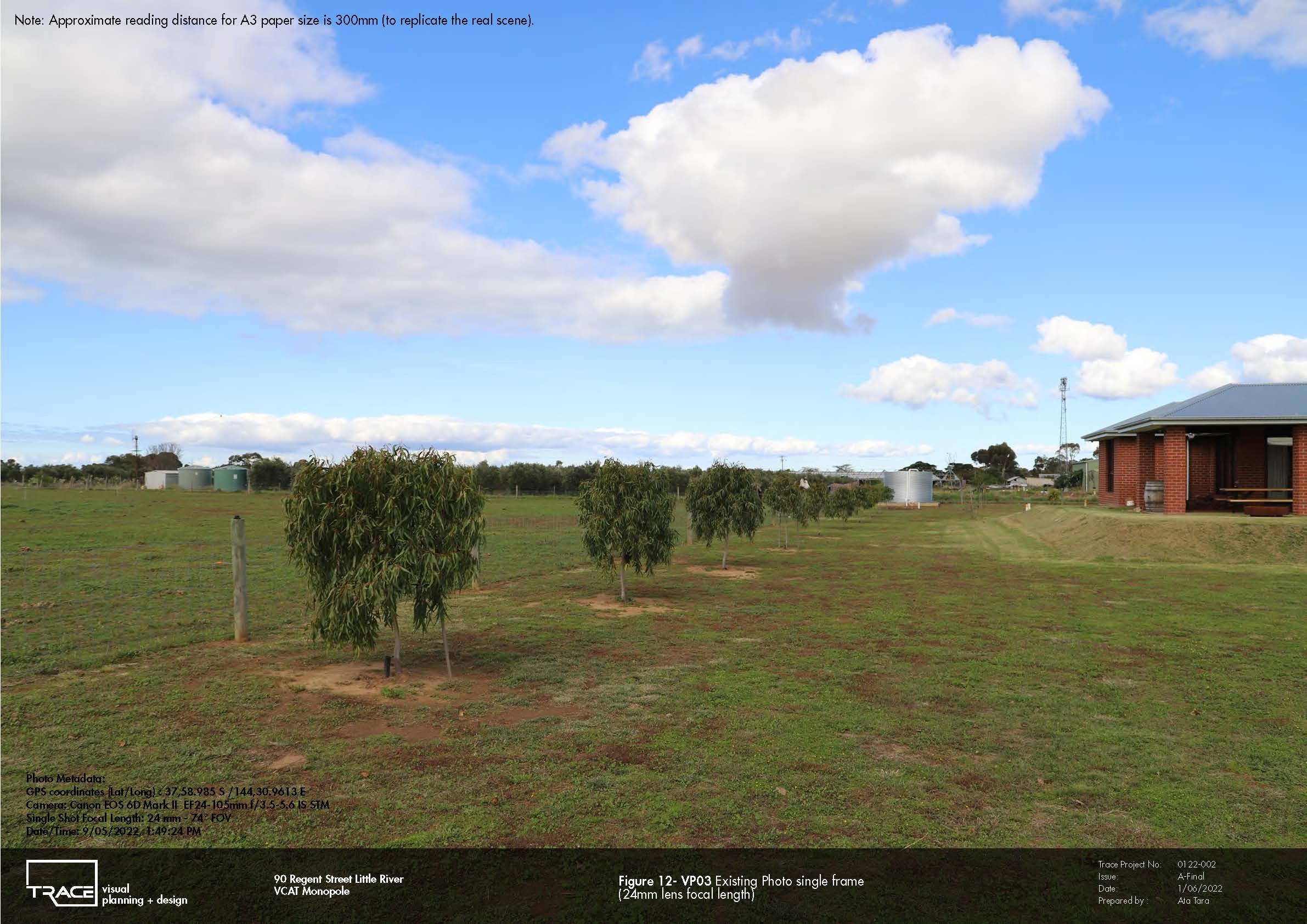
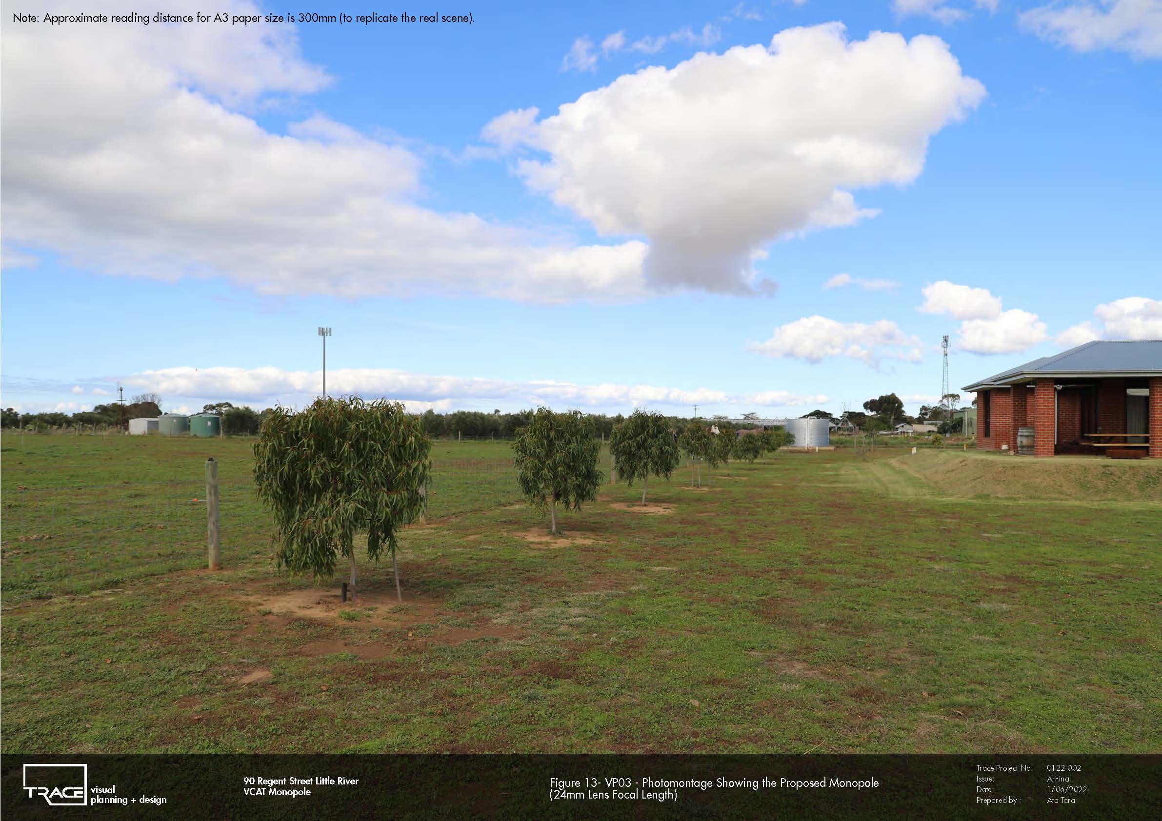
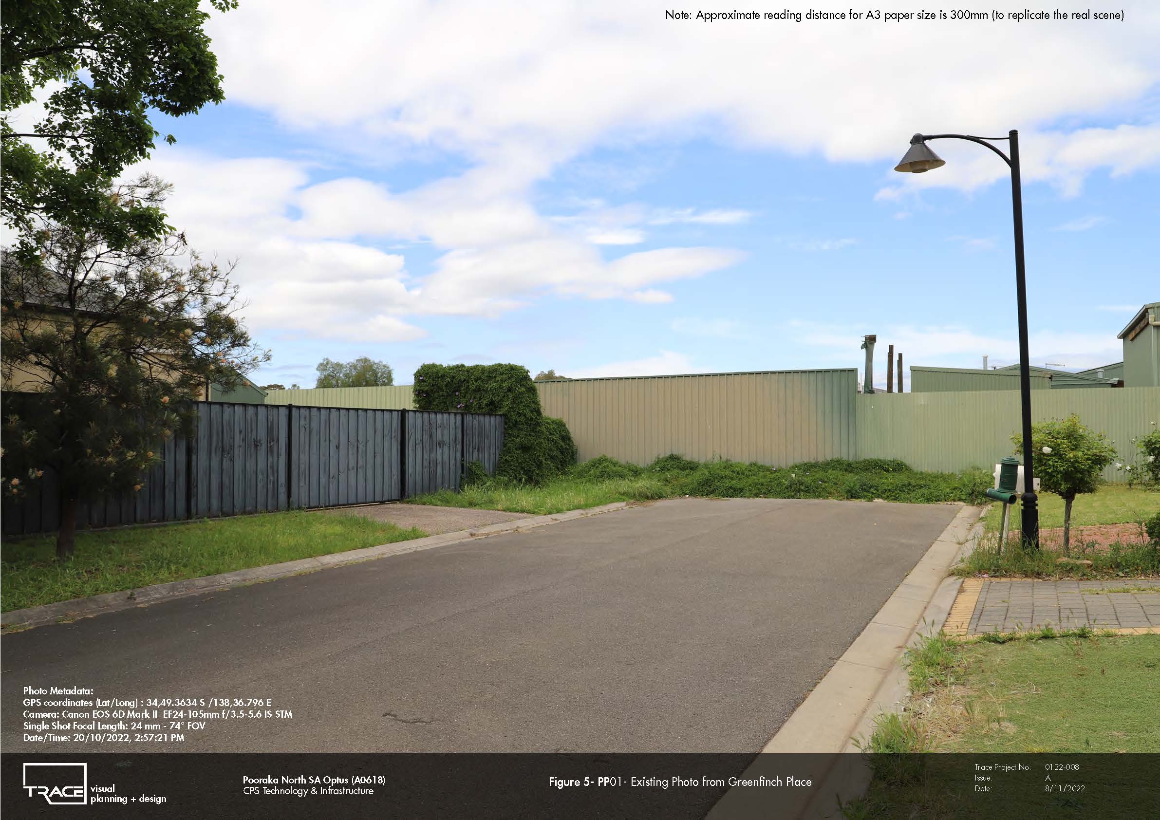
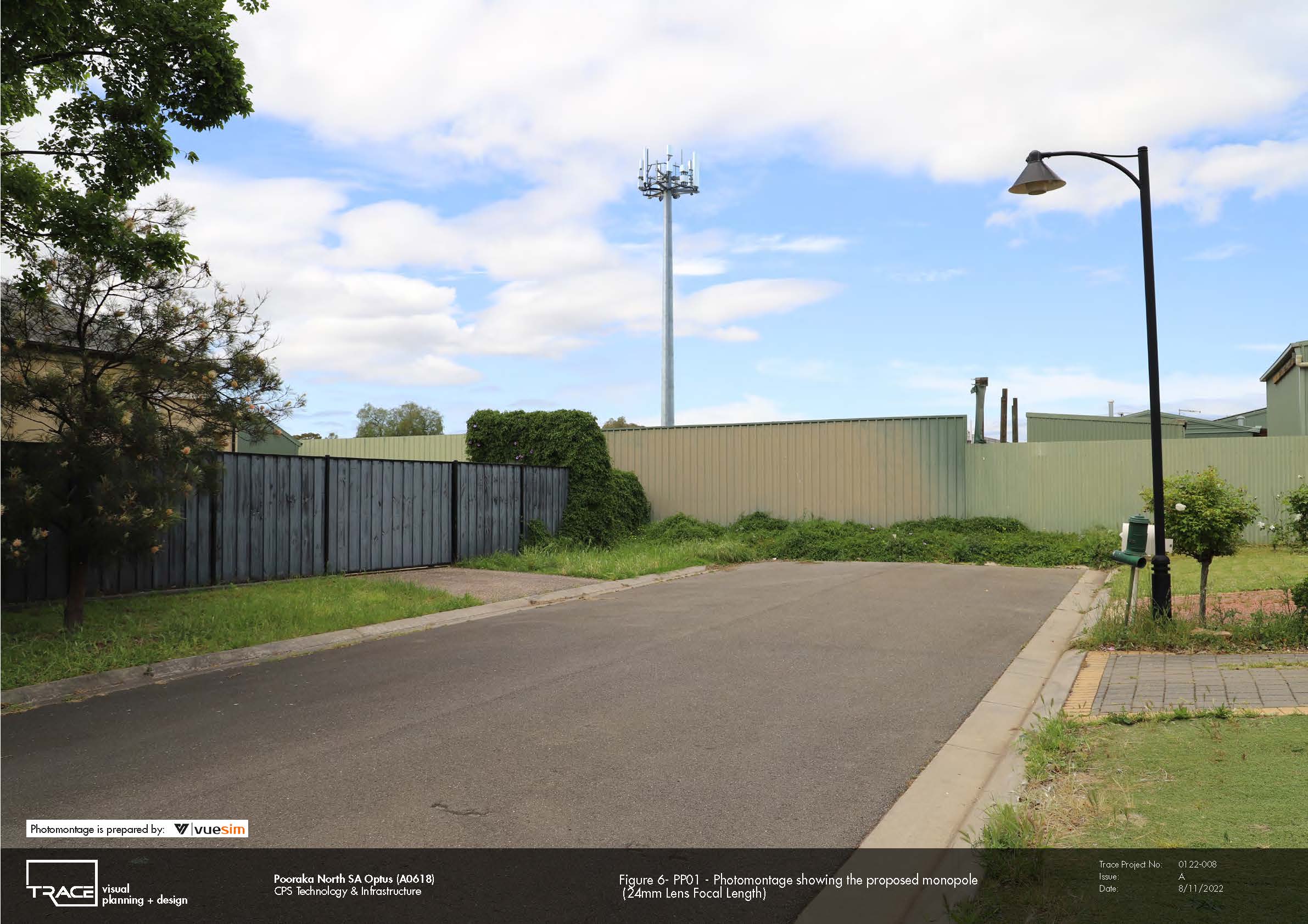
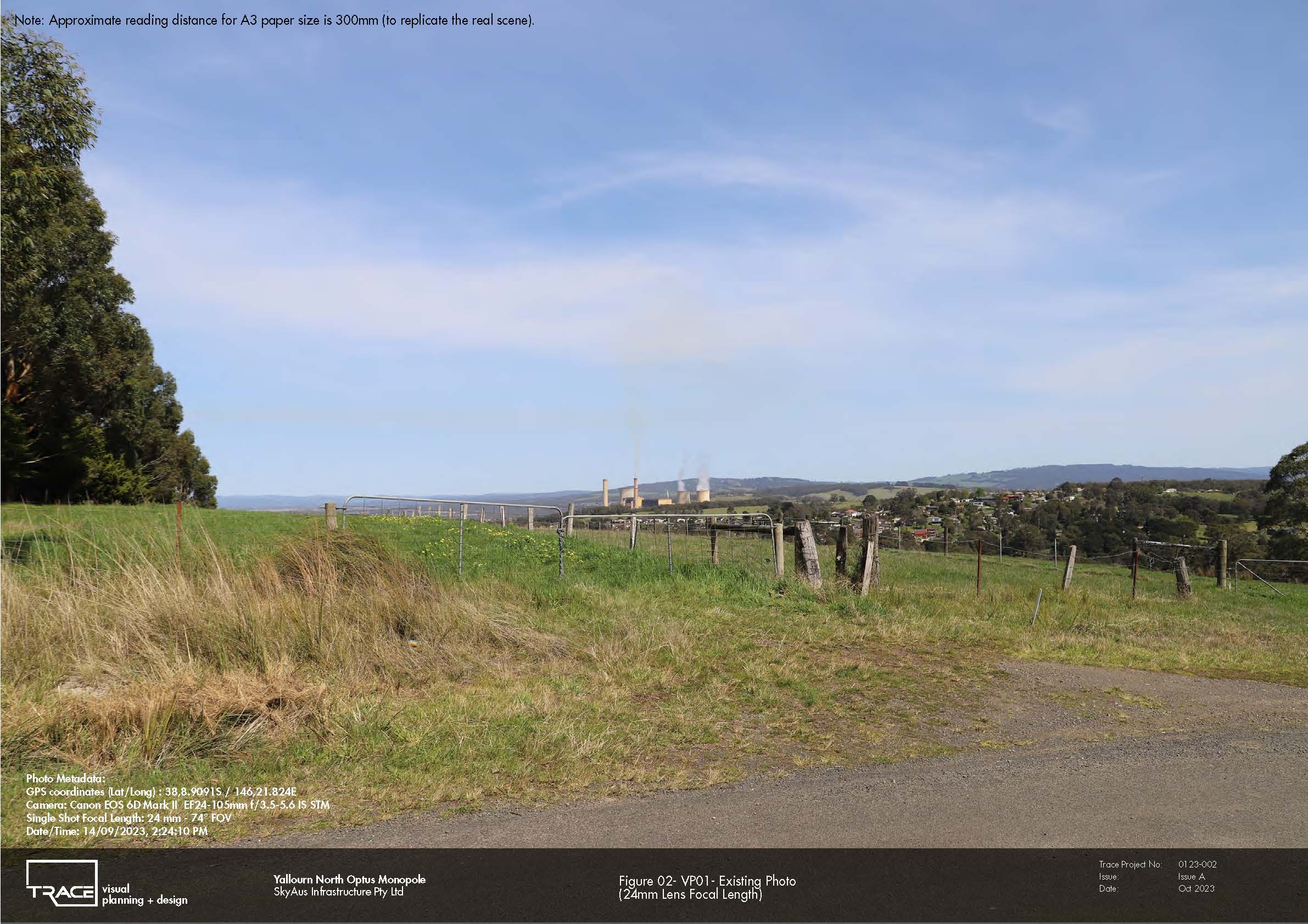
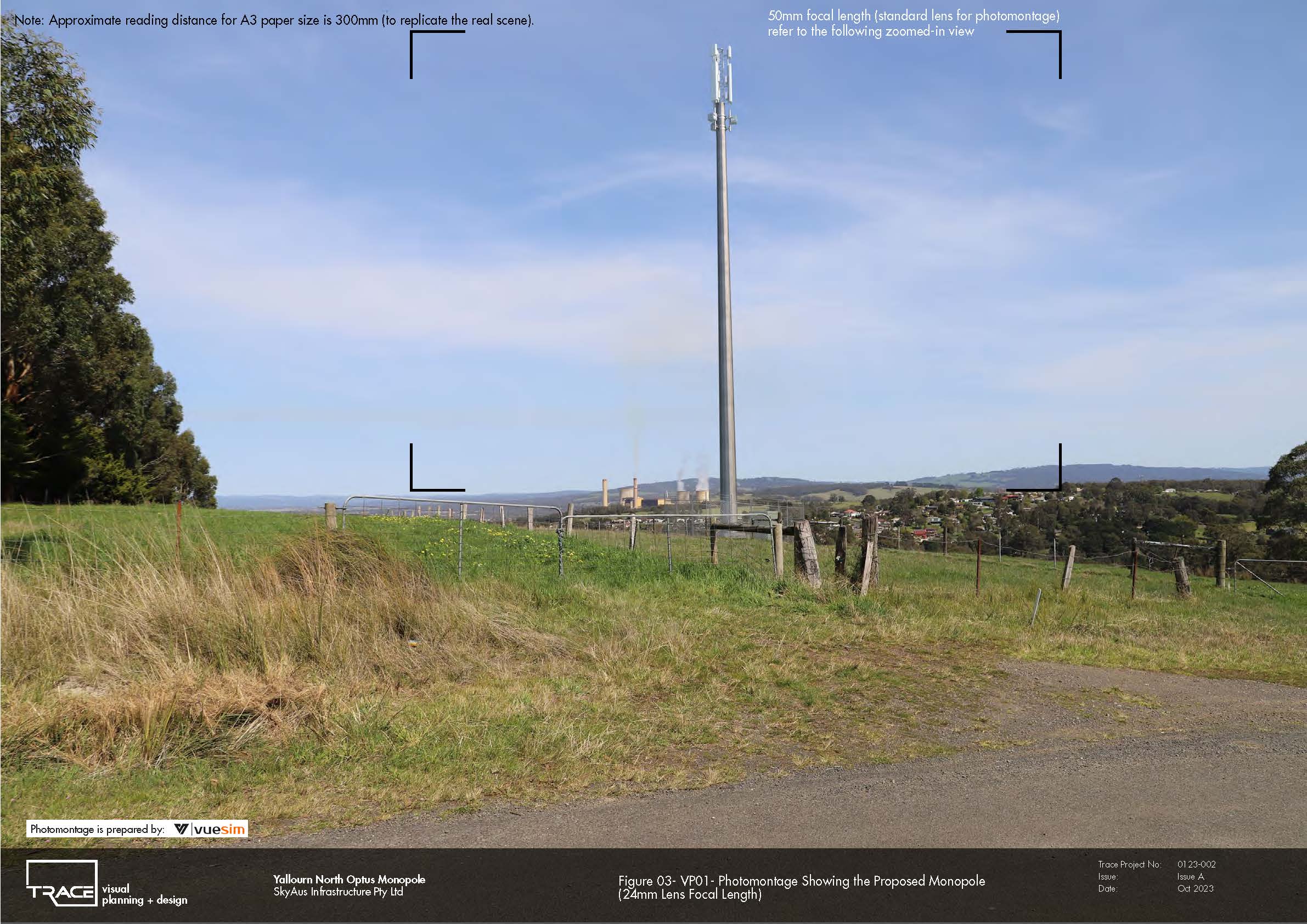
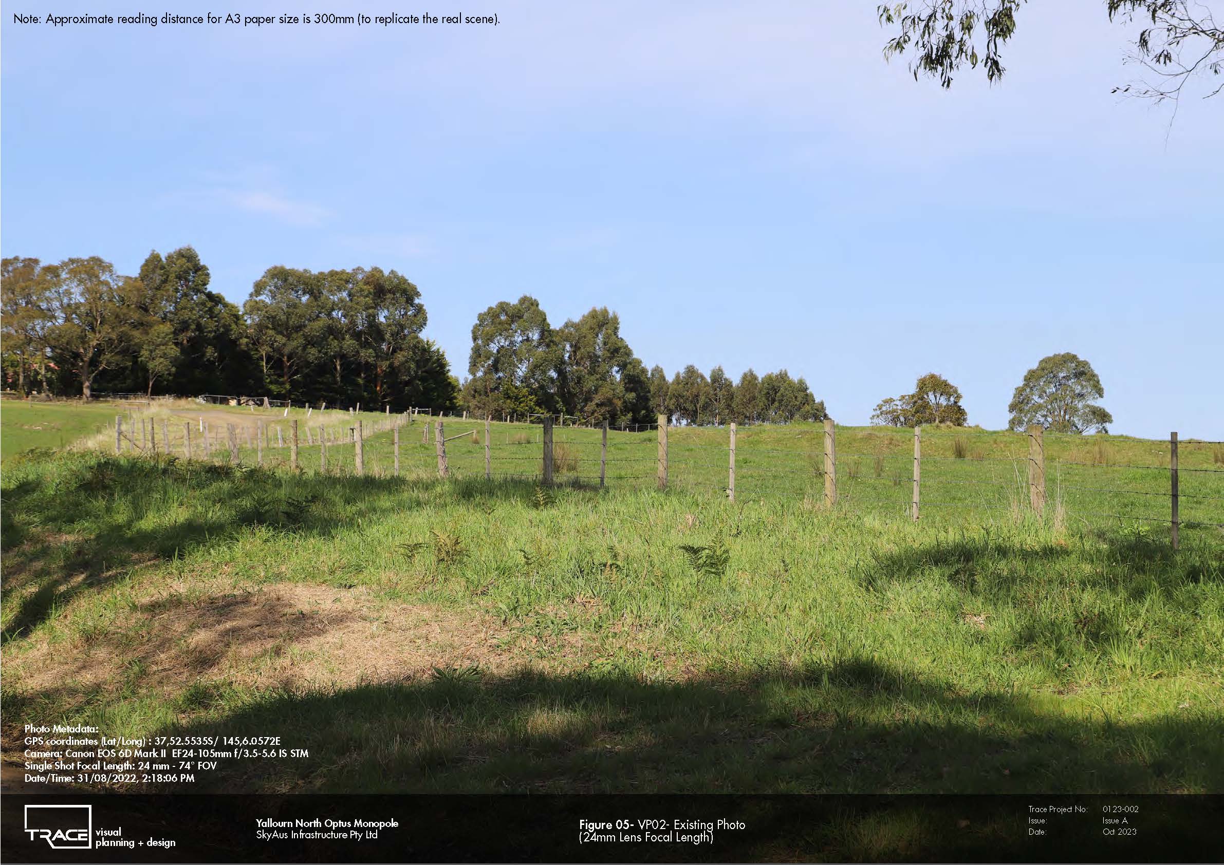
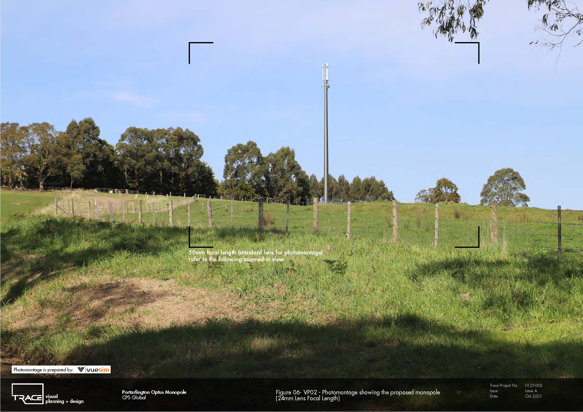
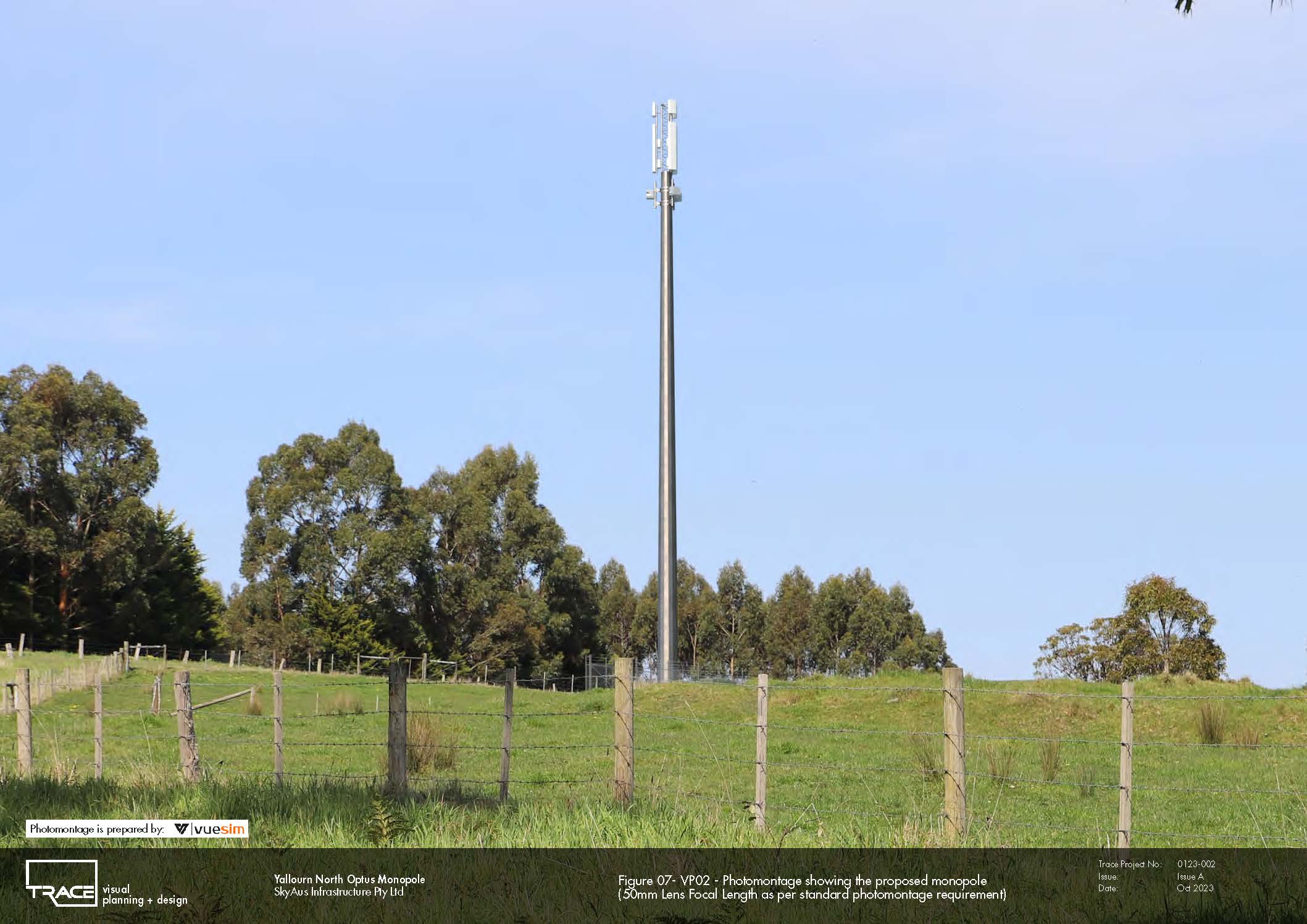
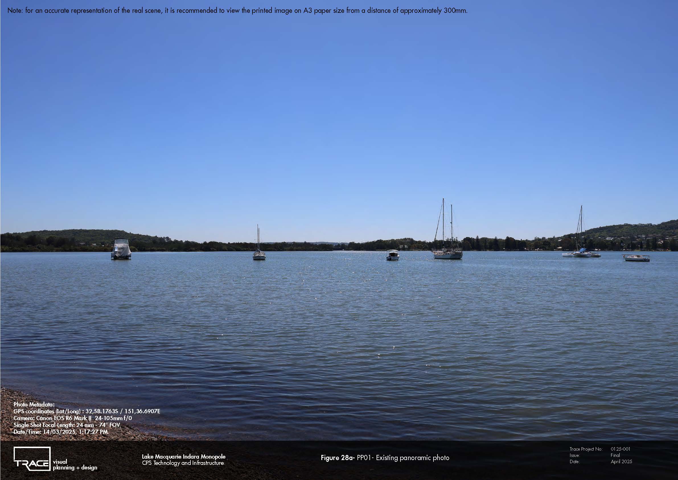
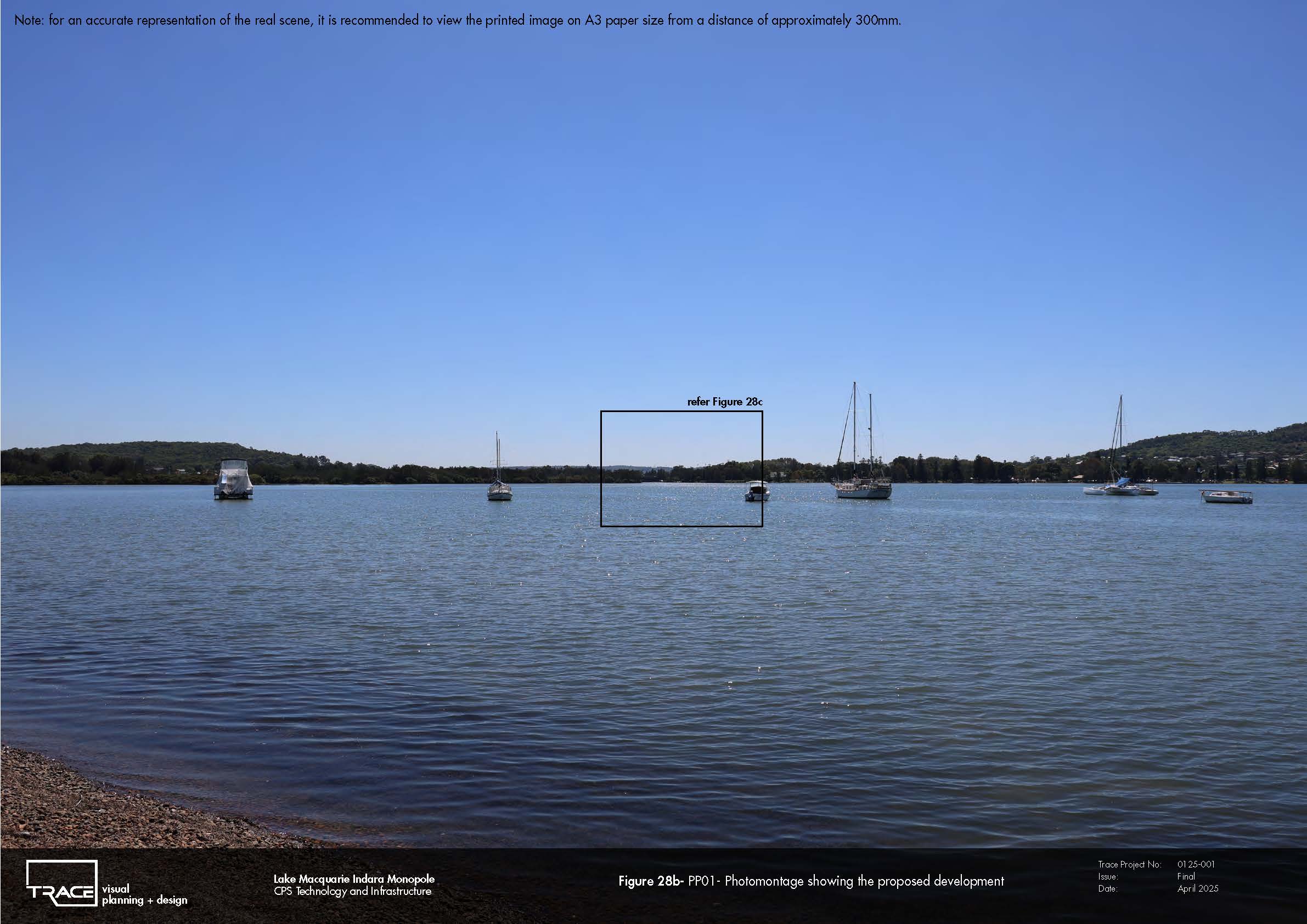
Across the portfolio, field photography and accurately scaled photomontages were used to test GIS predictions against real-world conditions, including the screening effects of vegetation, buildings and landform. This allows a critical distinction to be made between infrastructure that is technically visible and infrastructure that is visually dominant—providing a robust evidence base for assessing effects on residents, road users, recreational landscapes, skylines and broader landscape character.
These projects demonstrate TRACE’s specialised approach to the visual assessment of tall, slender infrastructure, combining spatial analysis and human visual perception to inform site selection, planning approvals, mitigation and defensible visual impact assessment.
Selected projects: Wallan South • Little River • Pakenham West • Yallourn North • Sorrento East • Pooraka • Lake Macquarie / Boolaroo